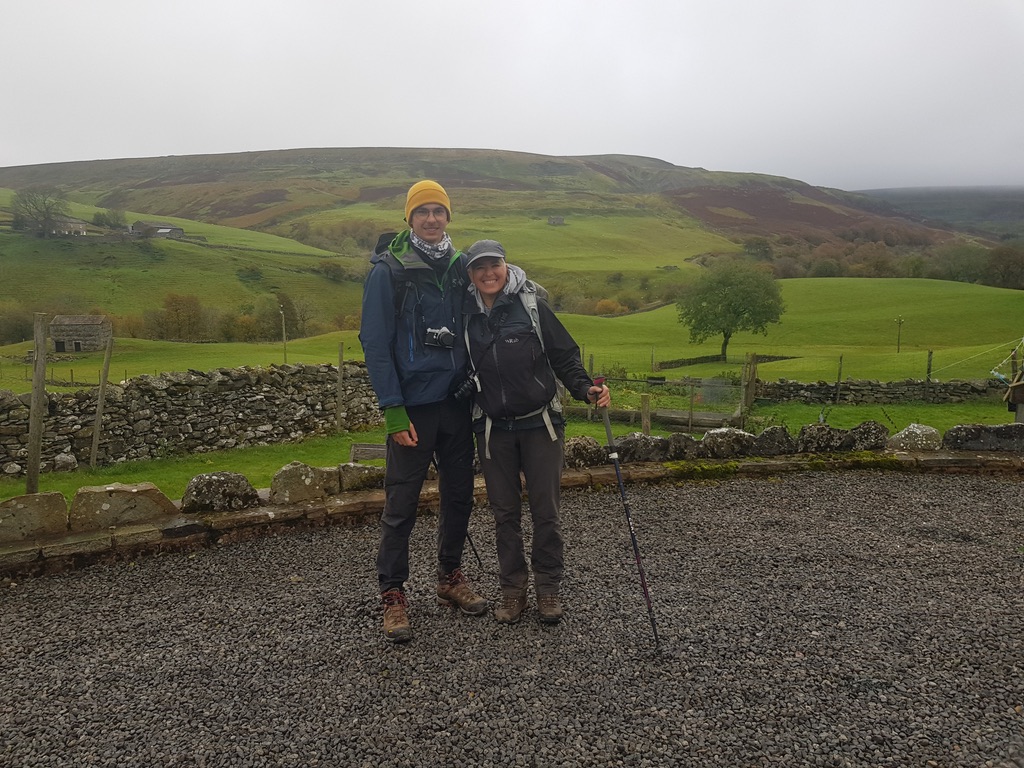
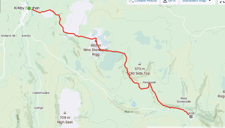
St Bees, in Cumbria to Reeth in Yorkshire over 7 days
Day 0 Oct 10 2020
We journeyed by train to St Bees. From Cambridge to London with an overnight at Highbury Quadrant, then together with my son Fabian, the 07:10 train from Euston via Carlisle. The trains were empty. Everyone masked. On the line south from Carlisle our carriage suddenly filled. A group of men sat in the seats opposite, in front and behind us even though there was lots of space on the train. The nearest asked if he we minded if he ate his toast, pulling down his mask before we had responded. Others were drinking beer. We decided to move carriage causing an uncomfortable exchange. The term ‘social distancing’ has so many connotations. It was clear to them that we were from elsewhere and on holiday, and in that moment, I felt socially distant to those men for more reasons than one. Once settled in our new seats, we enjoyed the views over the Irish sea, as we cruised along the coast passing Flimby, Workington and Whitehaven.
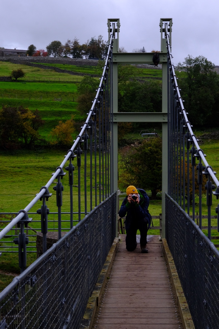
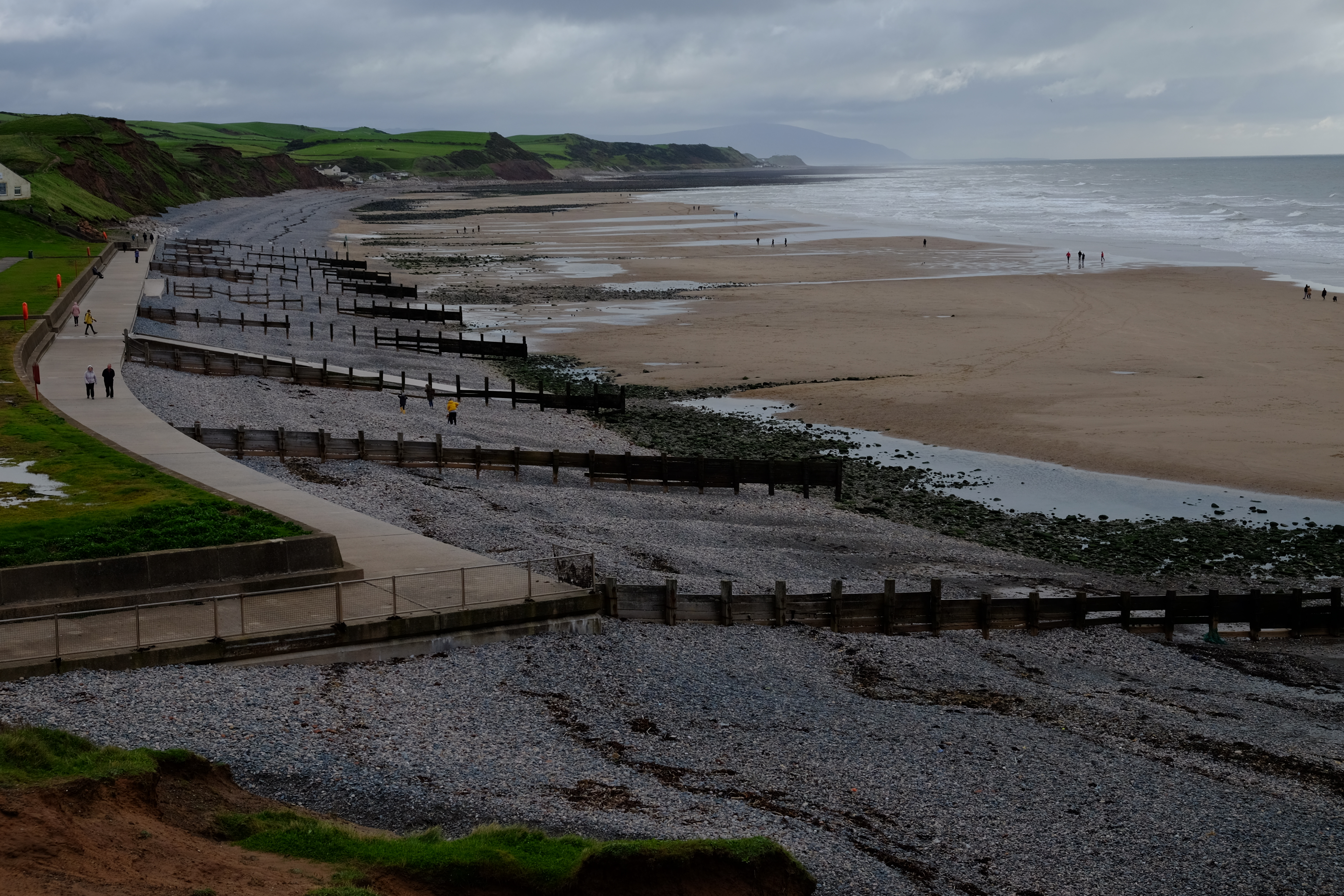
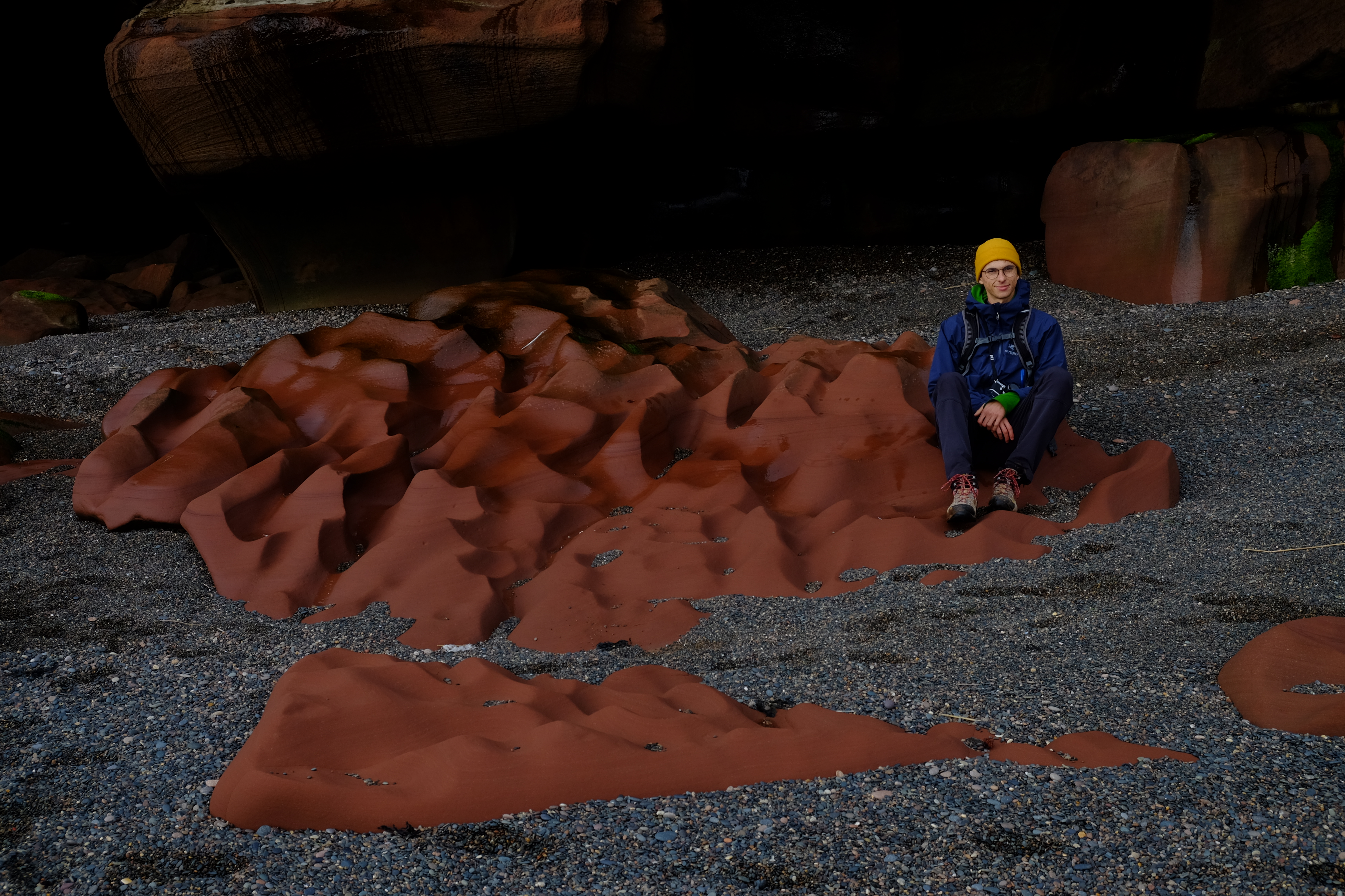
We dropped our bags at The Queen’s Hotel and walked to the beach, picked up pebbles as tradition dictates when commencing this path, then walked up and around St Bees Head visiting the inlet with red sandstone rocks, all the new RSPB cliff-top lookout points, although the nesting Guillemots, Razorbills, Fulmars, Kittiwakes and other sea birds had long since departed. Then we headed back to the hotel, via Sandwith, over the fields. We had supper in the bar – lasagne with a side order of chips. We were both totally wiped and slept soundly.
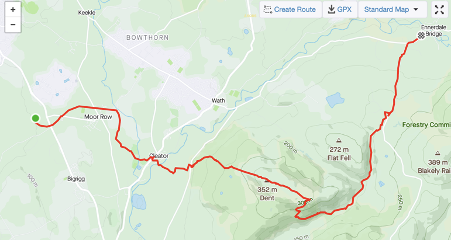
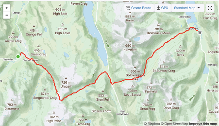
Day 1, Oct 11 2020 – destination Ennerdale Bridge, 25km (map below is incomplete as we did not switch on Strava until our breakfast stop) .
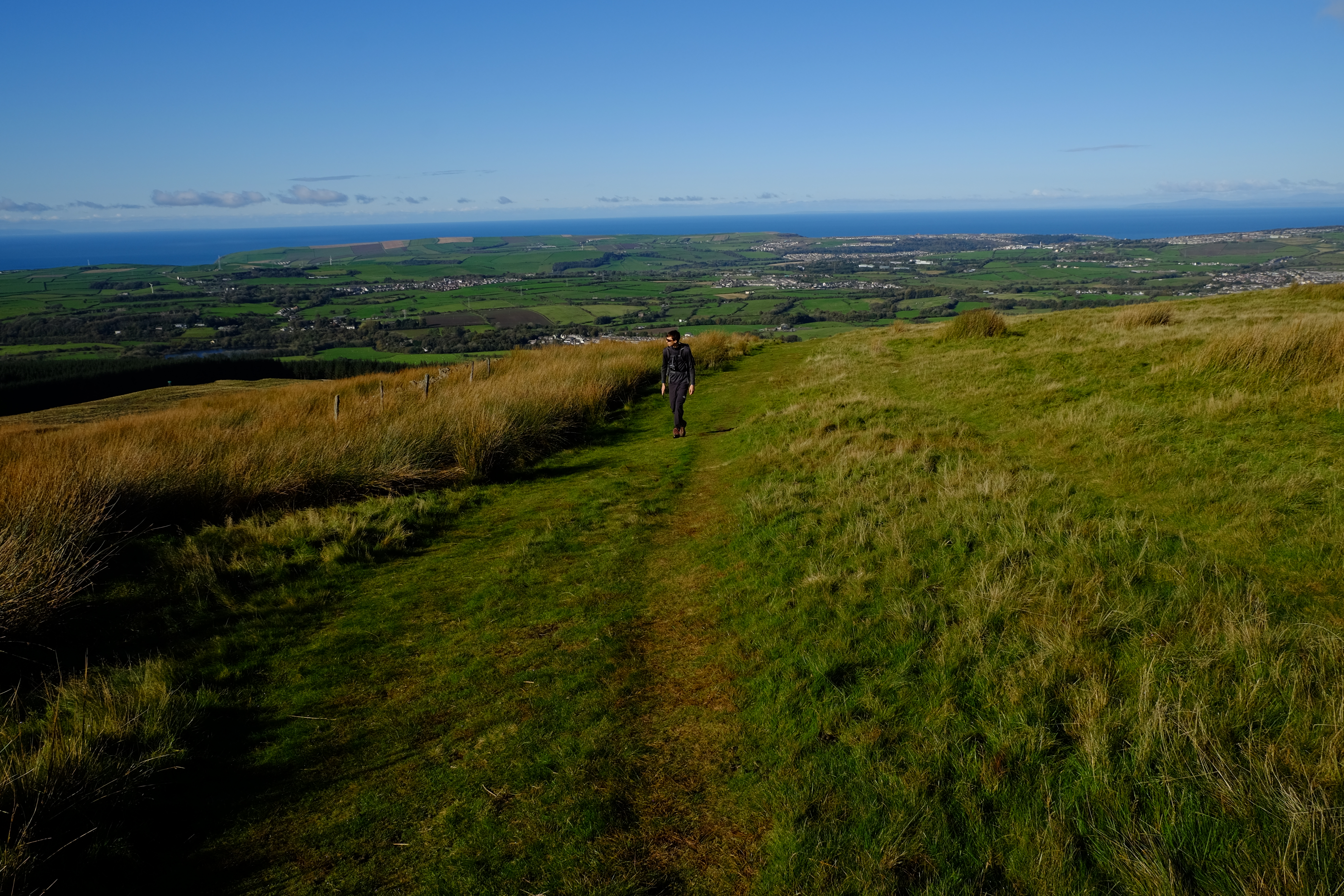
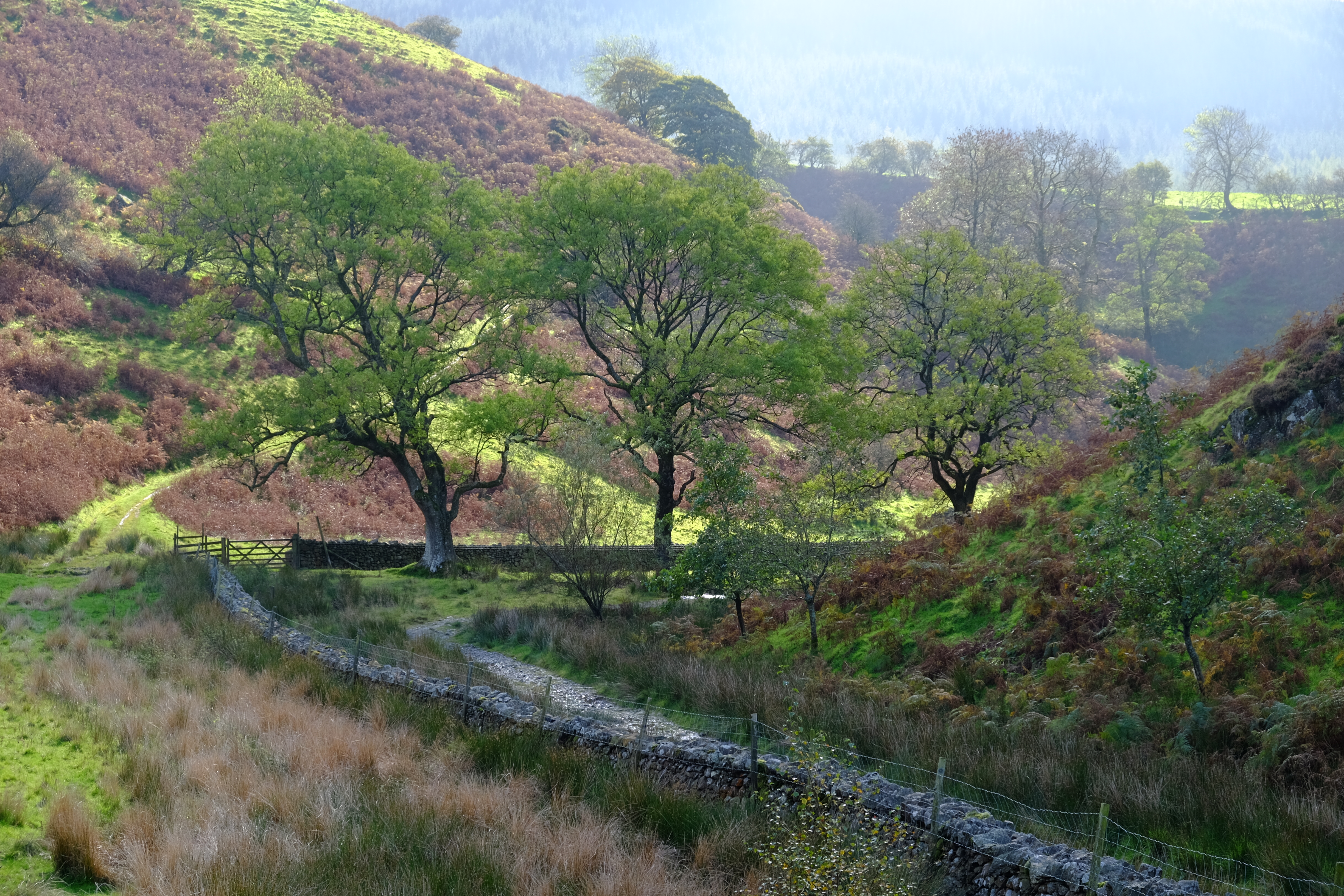
We departed early, with a packed breakfast, in order to catch the sun rise. We walked adjacent to the railway, across St Bees school grounds and eventually under the railway to pick up the official trail. We took a detour to walk along a disused railway line, now a cycle path and stopped for breakfast in a sunny spot. Fabian fired up the cooker and made coffee. Runners, cyclists and dog walkers passed by in both directions. Then it was through fields and up onto Dent, with good views back to the coast, and then gently down the other side into a lovely valley with a babbling brook. We wended our way this way and that over little bridges then through a gate, stopping for lunch on a rocky outcrop above the path. Sunday walkers and all-terrain bikers stopped to chat. Then a short walk up onto a road and down into Ennerdale Bridge. We stayed at Thorntrees. We were booked into the Fox and Hounds Inn for the evening meal. We had the special -lamb shank and mash. This sounded good in principle. Certainly, we could not complain about the size of the portions.
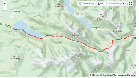
Day 2, Oct 12 2020 – destination Seatoller (Borrowdale) 24.33km
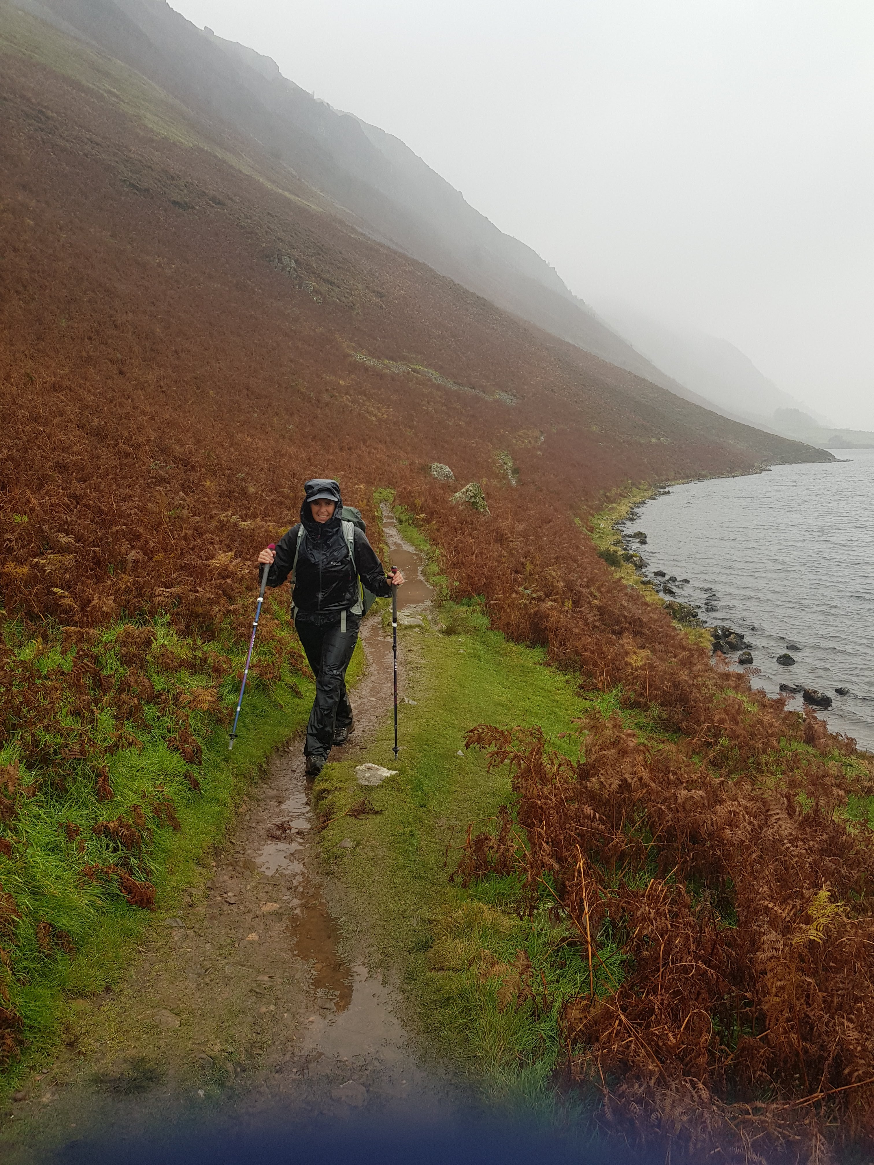
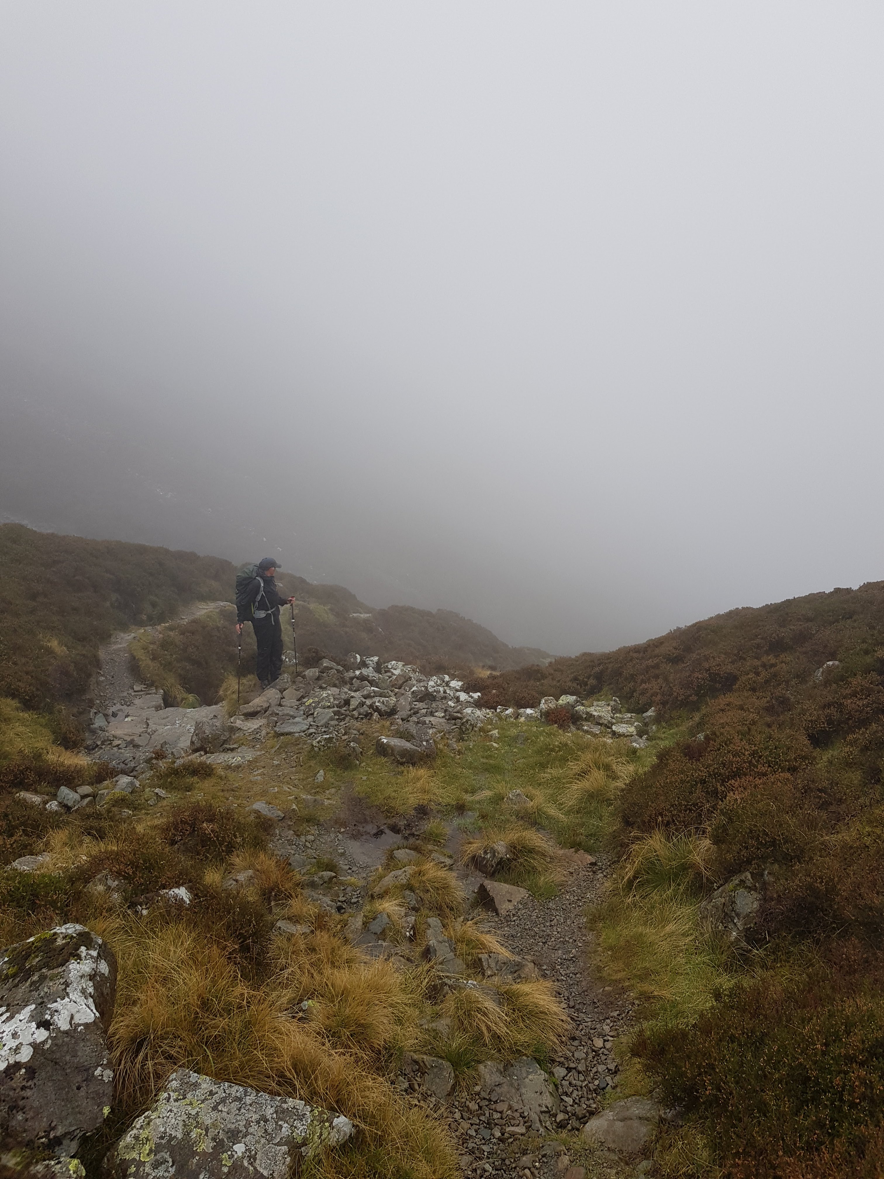
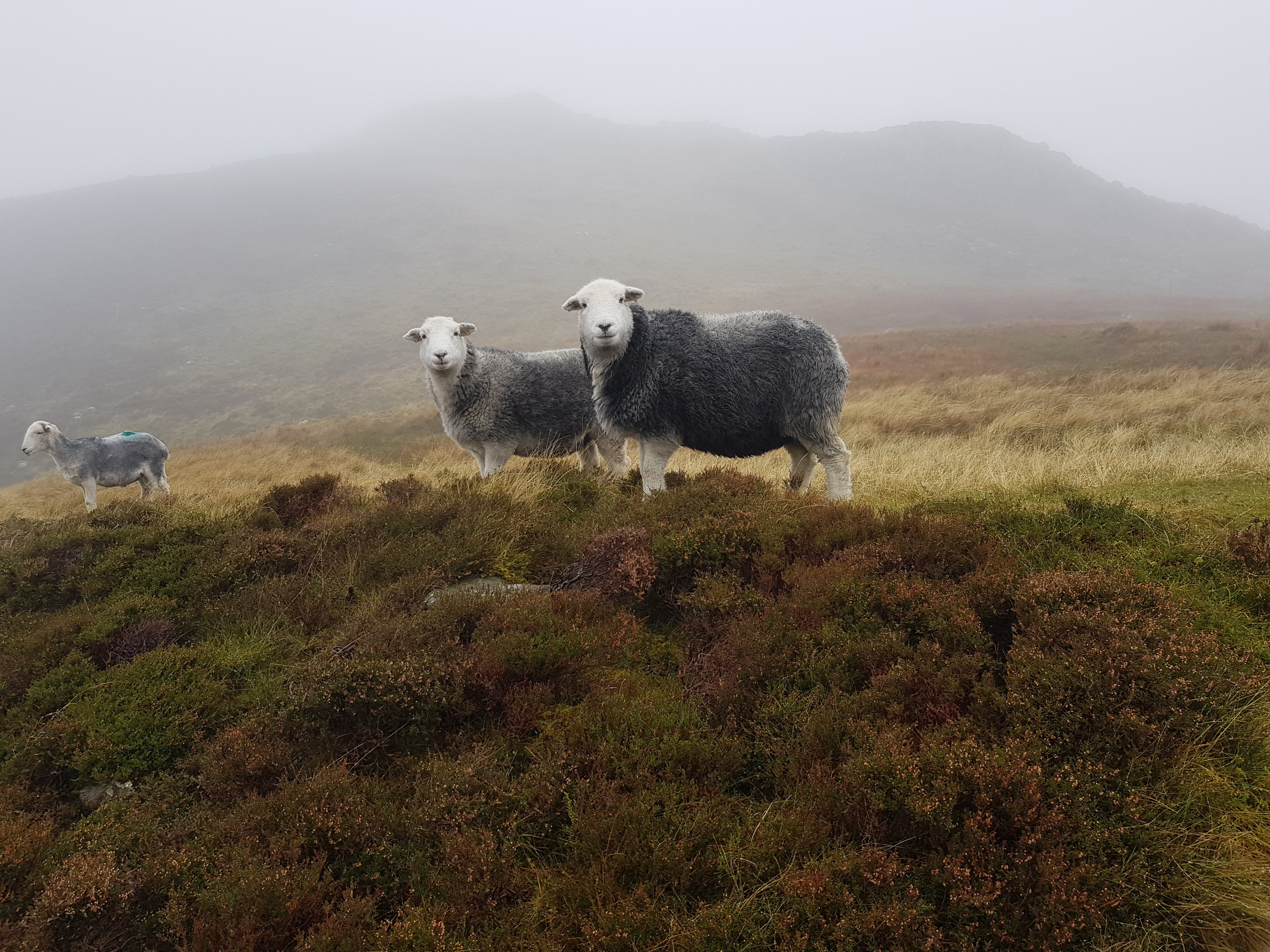
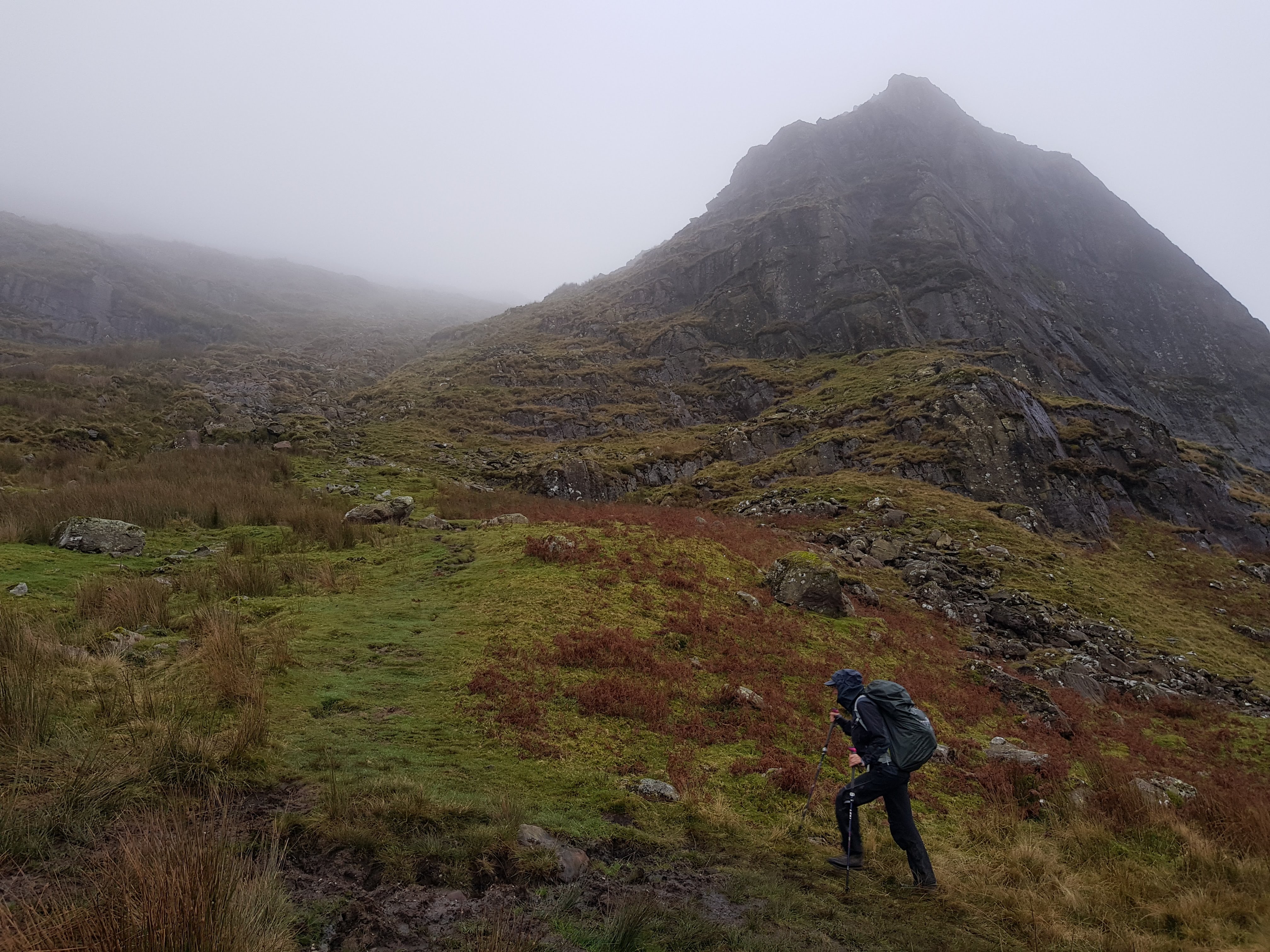
The day started dry but it was raining by the time we left. We met Dave Heath, another C2C walker, at breakfast (see his videos on youtube: https://www.youtube.com/channel/UC0Np6p9bX0GZzF-5yVrUk7w). He was walking on his own, carrying all his belongings for the full journey across. We swapped phone numbers, just in case either party needed help. By the time we arrived at Ennerdale lake the rain was lashing down which made the walking tough and the path a rocky stream. Ennerdale is a re-wilded valley but this was hard to appreciate in the conditions. We squelched our way across the valley and onto a forest road, heading for the Youth Hostel where we thought we could shelter and have lunch. It was closed. We back tracked to the ‘field centre’. A bunk house and some barns. Someone gave us access to one of the barns. We fired up our cooker for tea, munched sandwiches and hit the trail again, up the valley and out onto to the moor. We passed another really lovely youth hostel, but this too was closed, having been booked by a private group. Up into the cloud we trudged, more rain pelted down on us. We found ourselves on the wrong side of a stream bush whacking. We realised our error and crossed the stream and found ourselves on a much better path with steps all the way. At the top, we were greeted by the local (Herdwick) sheep, and a vast emptiness, a distant open cast mine to the left. Haystack Rocks were blanketed by cloud. A blast of wind sliced into the gap between my back and pack, chilling my spine. We kept moving, now downwards, eventually to a very steep and slippery path to Honister Hause and the green slate mine, in torrential rain. We stopped here for a few minutes, but my mask eluded me, hidden in one of countless pockets, so I remained dripping wet and cold outside whilst Fabian enjoyed a solitary banana in the relative comfort of the visitor centre foyer. We walked down a path alongside the road to Seatoller and Glaramara House Hotel, with a little hiccough near the end because one of us failed to read the instructions properly.
After a luxurious shower, we joined others, far smarter than we, in the dinning room and enjoyed a good meal. Back in our room, we managed to wash clothes and lay them out to dry. Unfortunately, my phone, which had been in my anorak, had got wet. I tried to dry it on a radiator overnight. In the morning it lit up, but the keyboard had a mind of its own, opening and closing apps, sending random gibberish texts to who knows whom and generally taking the piss. The screen displayed ghostly patches. I switched it off. I could do without. Even if there had been signal, Dave Heath would not have been able to contact us should an emergency have arisen.
Day 3, Oct 12 2020 – destination Patterdale 25.7km
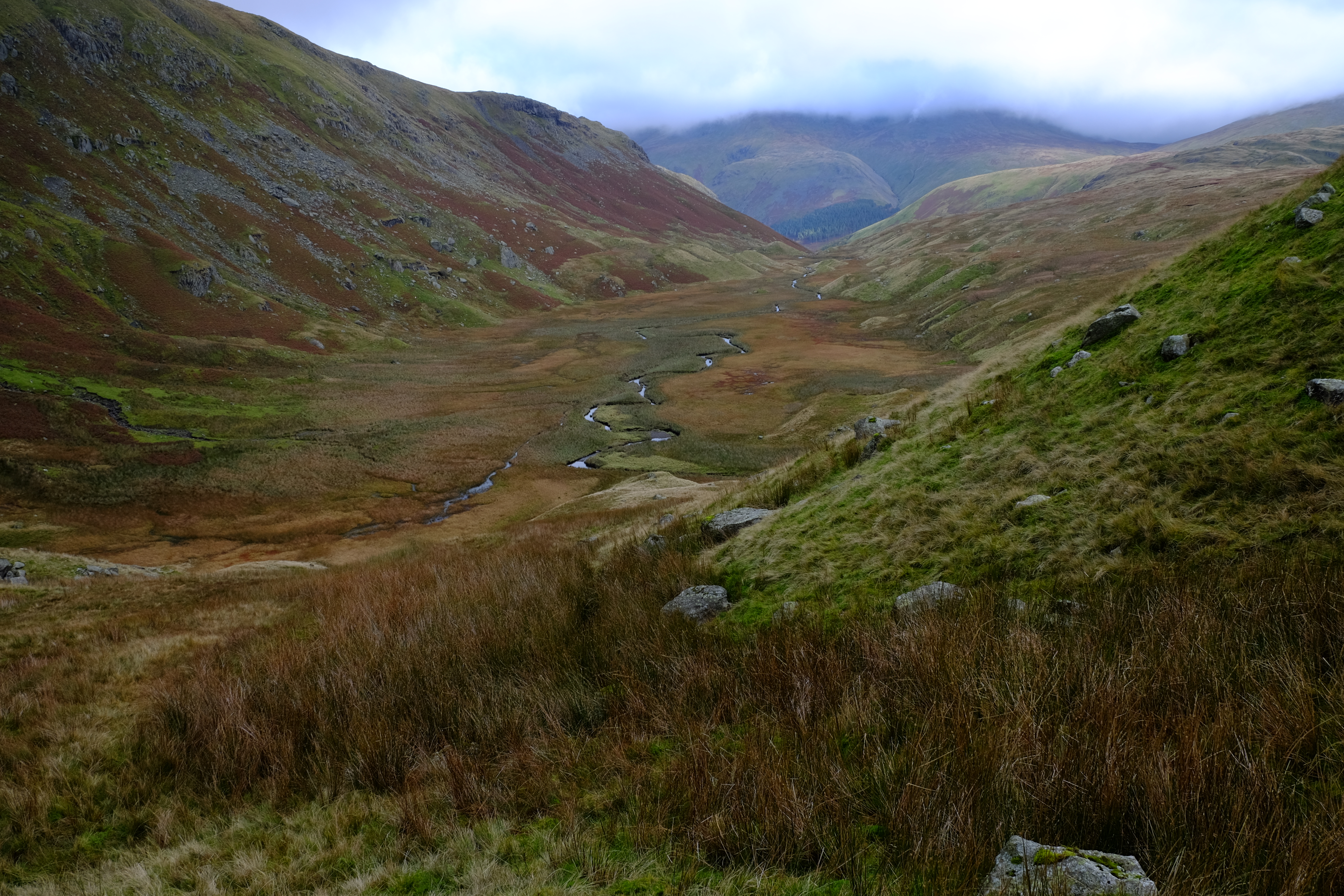
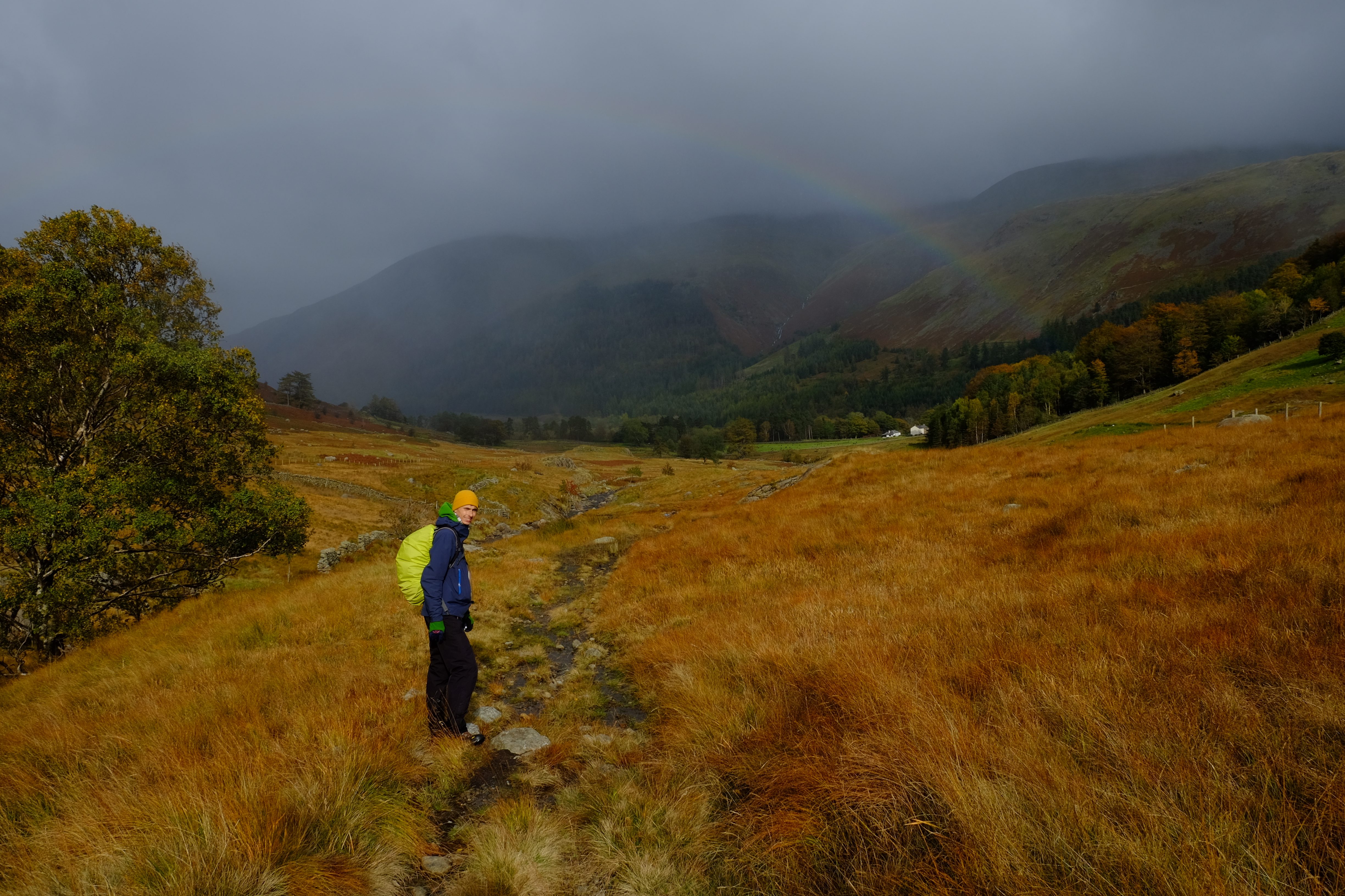
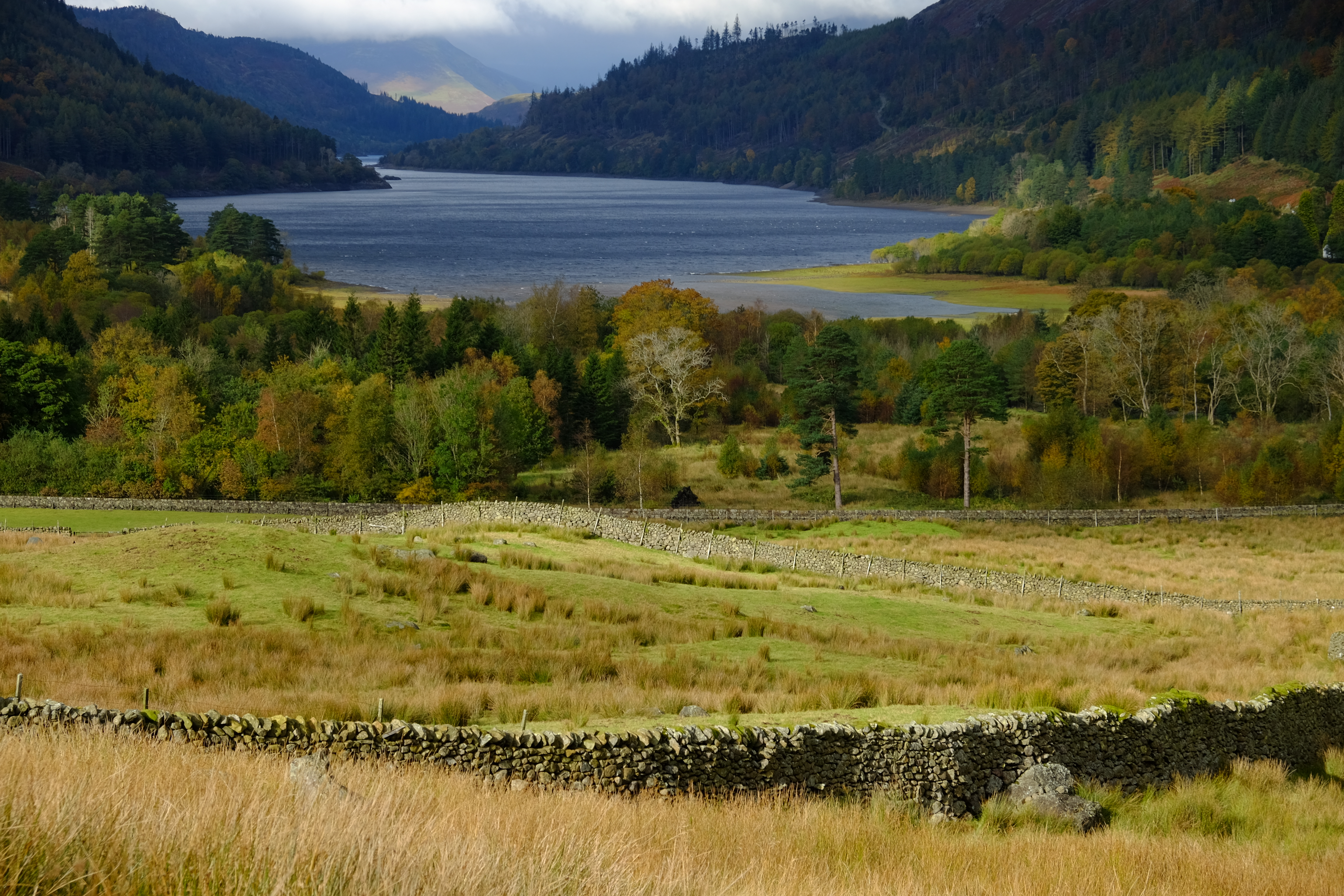
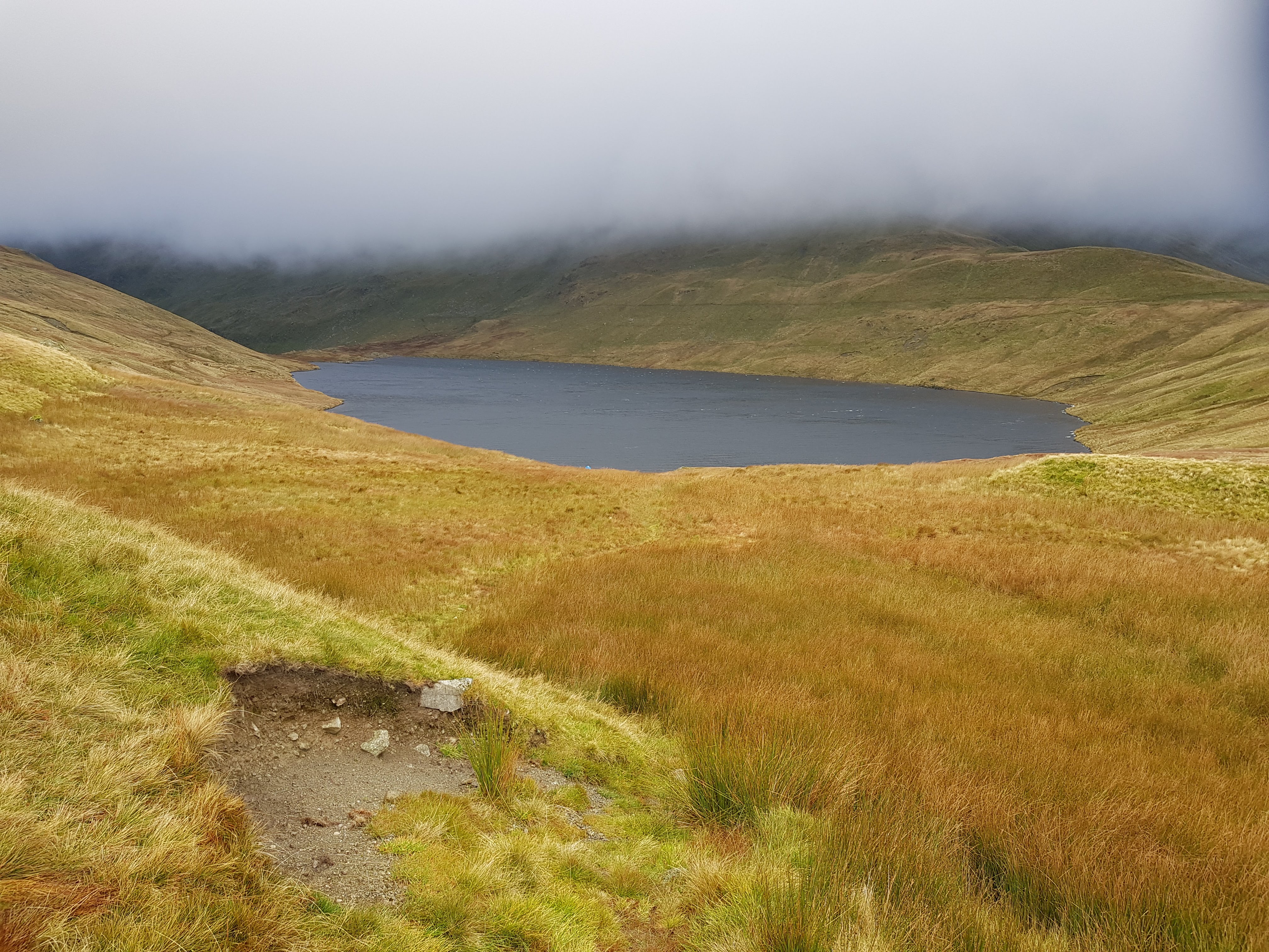
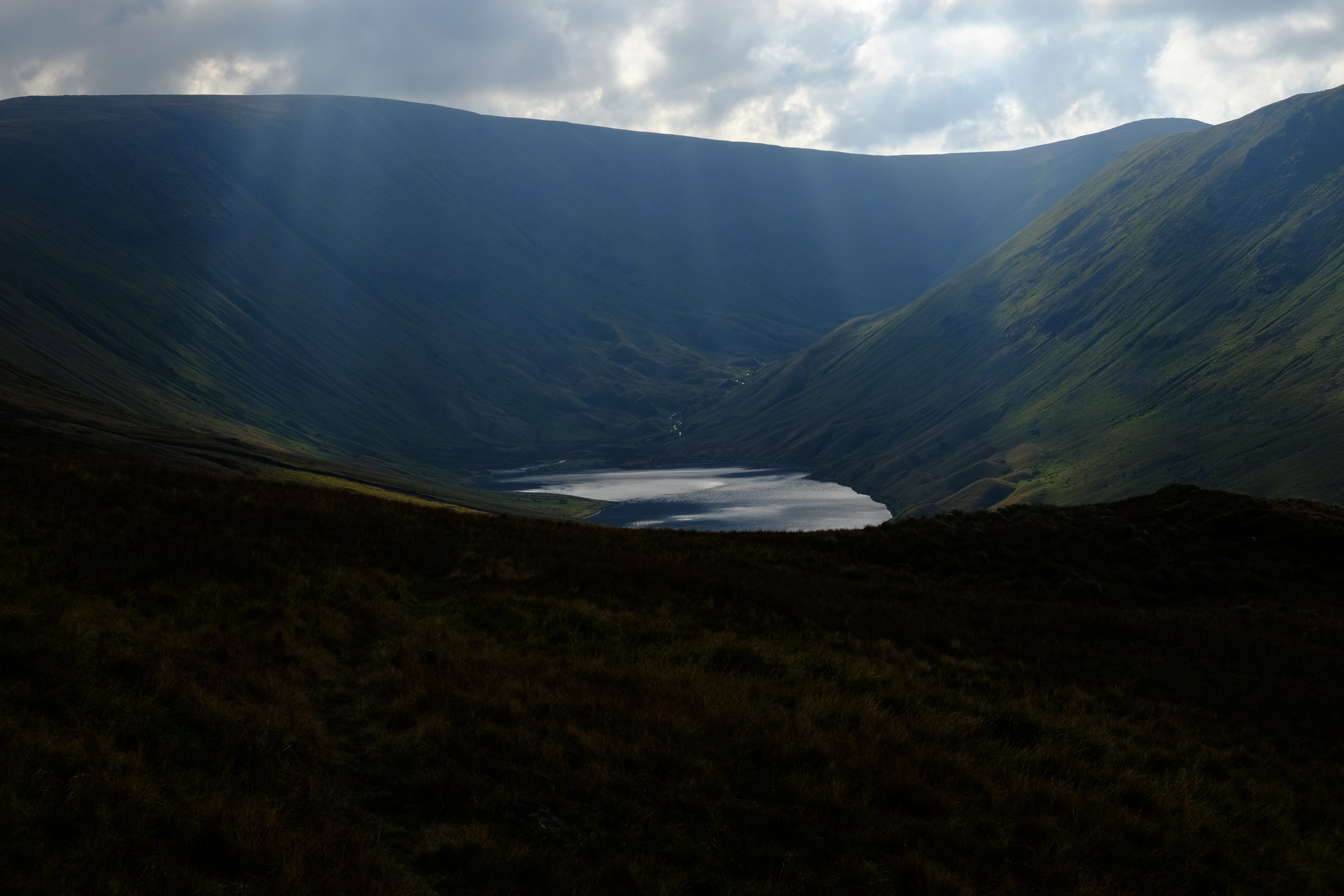
Again, we were unable to get an early breakfast, so we made a late start. The weather was fairly ok. We by passed Rosthwaite and re-joined the path at Stonethwaite Fell. We walked up into the clouds. It was quite misty as we crossed Greenup Edge. On the other side we took a detour which we hoped would buy us time, but almost certainly did not. We took a left turn walking via Middle How along the Wyth Burn. There was a clear path on the map, but it was non-existent on the ground. The centre of the valley is aptly labelled The Bog. There was a cold wind funnelling up the valley and we could not find shelter. So, it was a quick stop for lunch in the lee of a rock, and then off again, hard walking over thick tussock grass, rushes and reeds trying to keep our feet dry. Eventually we came out under the cloud and we got a bit of sun, wonderful autumn colours, a rainbow and views over Thirlmere. Then we navigated our way around the corner scrambling over a dry stone wall, up a cycle path along the Pass of Dunmail Raise, and then onto a well-marked foot path following Raise Beck to the eastern side of Grisedale tarn. As we climbed, the wind got up and there were massive gusts, full frontal. At the tarn, the water was inky black with white horses. The wind scooped up the water and it swirled like a tornado up into the air and up the valley. A small tent was pitched at the water side, right in the stream of airborne water twisters. We marched around the valley, hatches battened, and followed the rocky path down to Patterdale. On our way to Old Water View BnB we passed the pub where we planned to eat that evening only to discover that it was chef’s night off. So we took a cab (£12 for 2 miles) to Glenridding, where we had a pretty decent meal in the Patterdale Hotel.
Day 4, Oct 13 2020 – Patterdale to Shap 28.68km
We had given up trying to convince any of the hostelries to provide an early breakfast, so we went with the flow. It looked to be a fine day, so we were less bothered about a late departure. However, this lack of concern would come back to haunt us. As we were leaving, our host informed us that Margaret from Brookfield in Shap, our next stop, had been trying to contact us. There had been an outbreak of Covid at the pub so her advice was to pick up fish and chips and eat them in her dining room. The C2C grapevine was working like clock work!
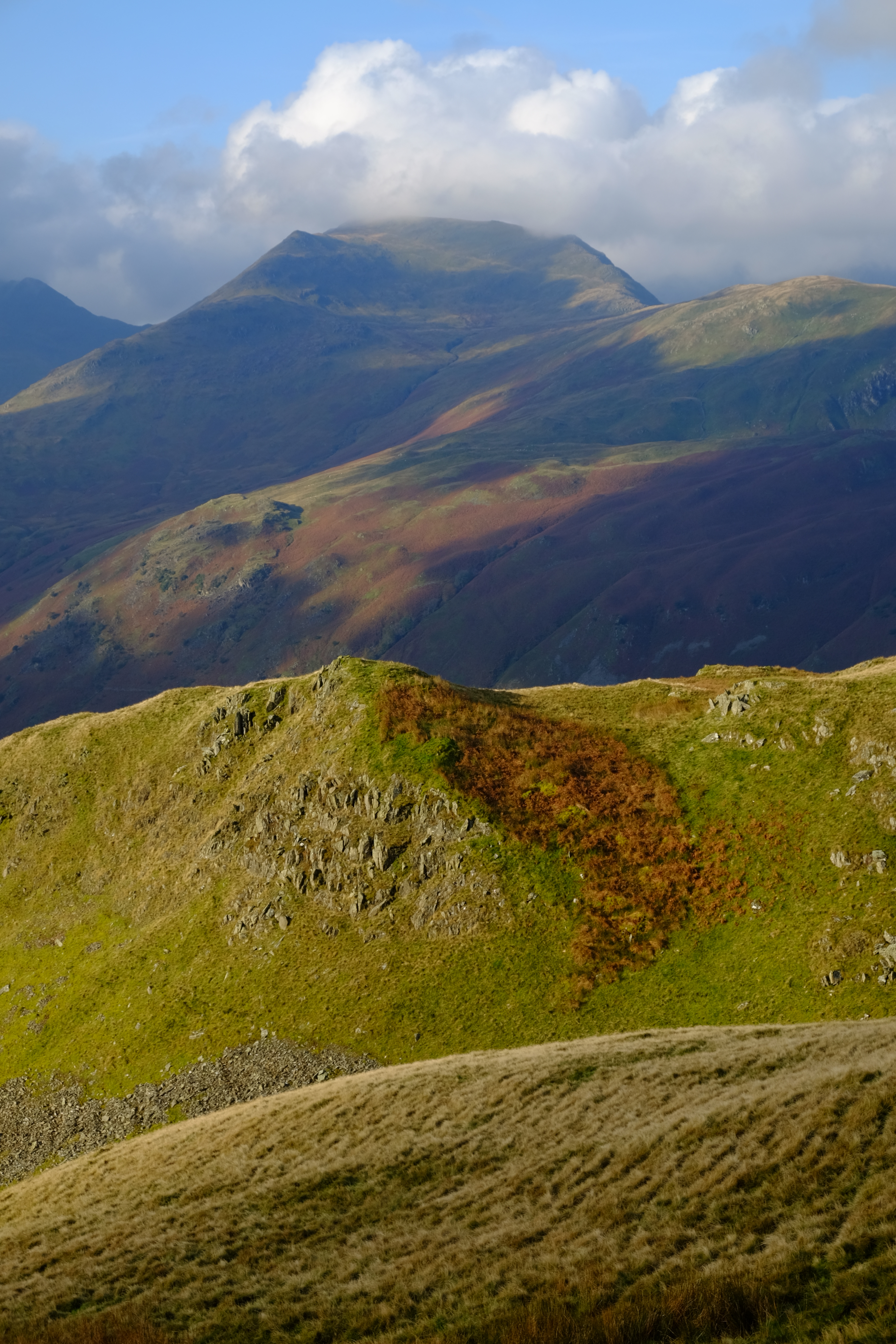
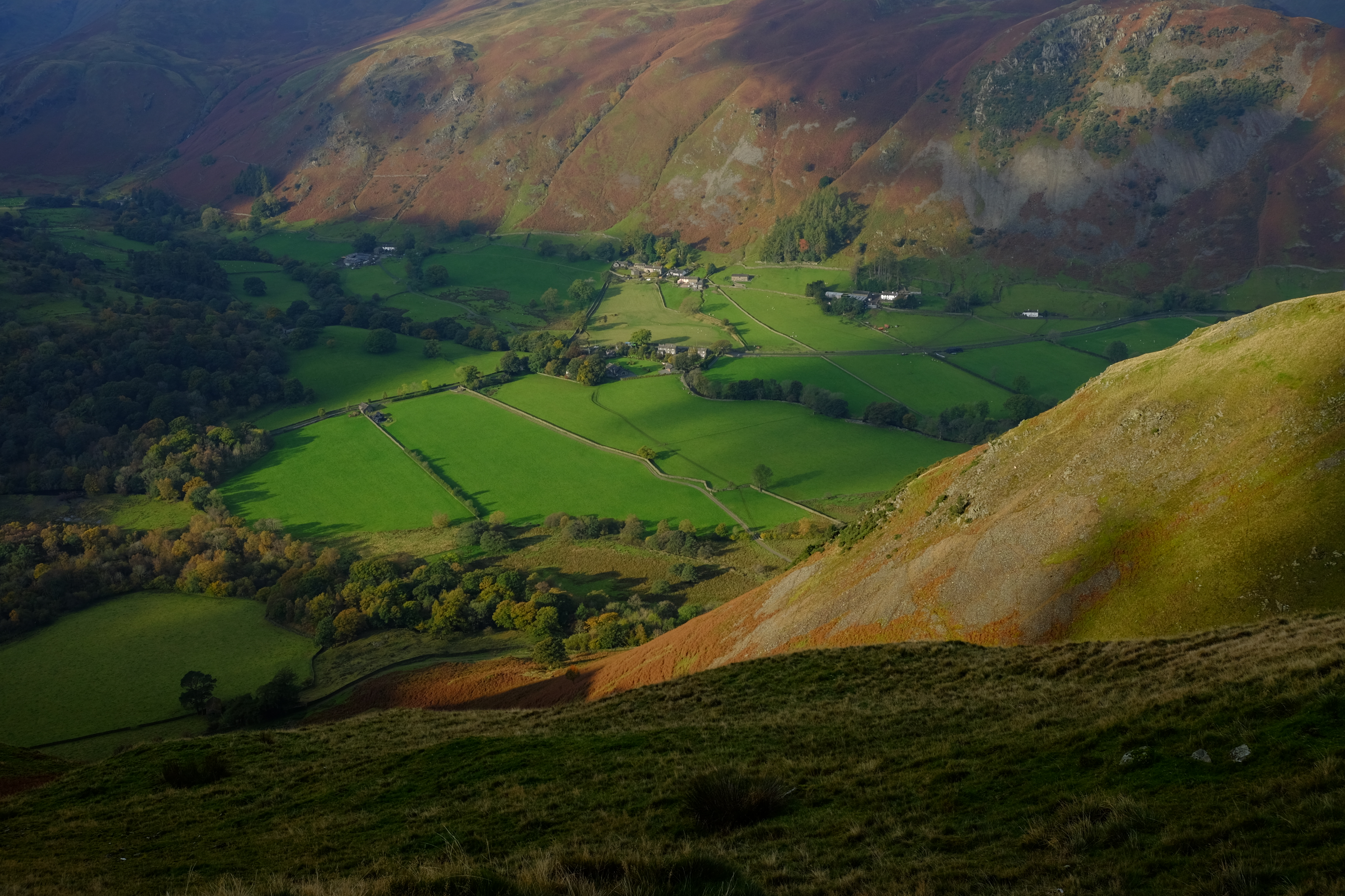
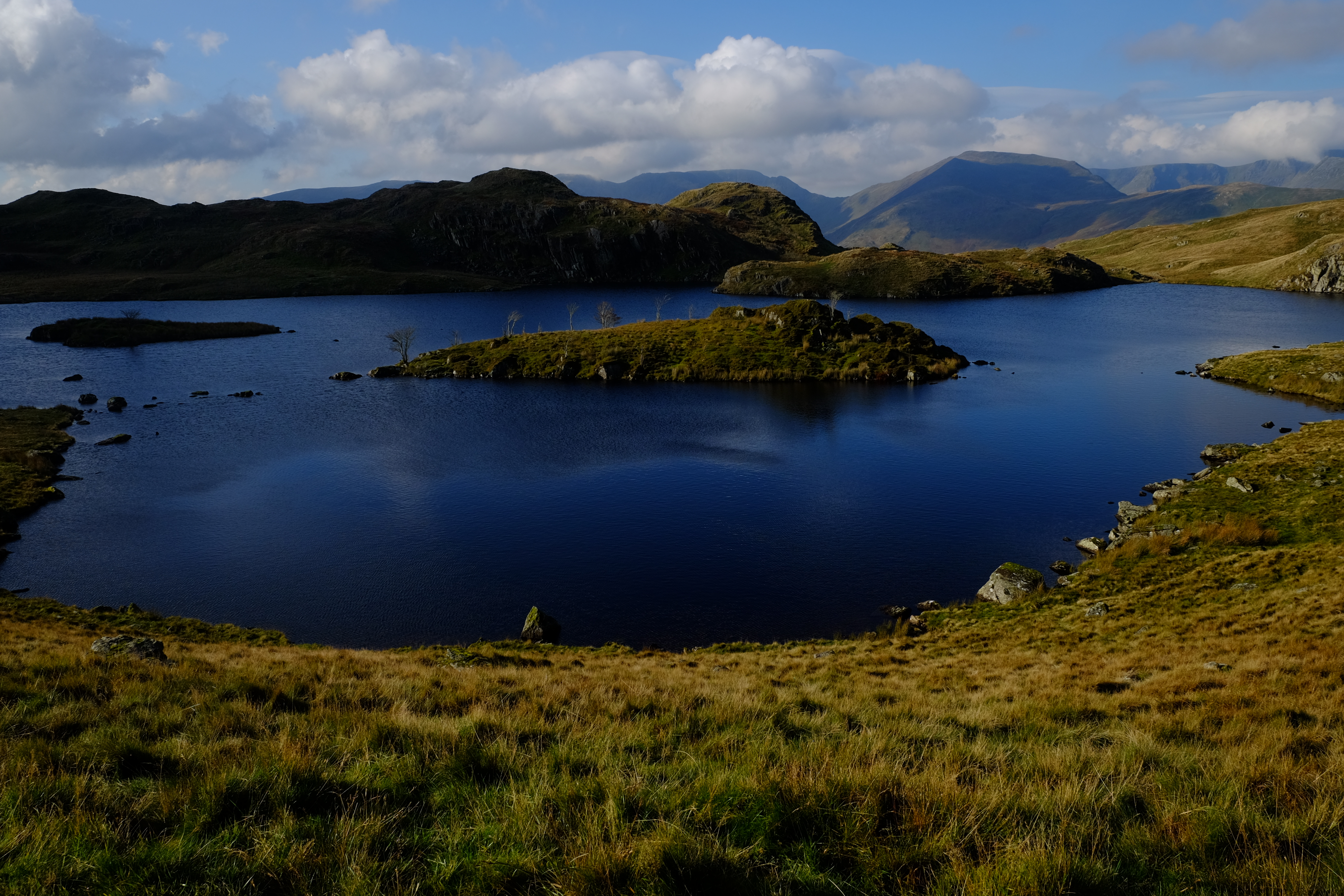
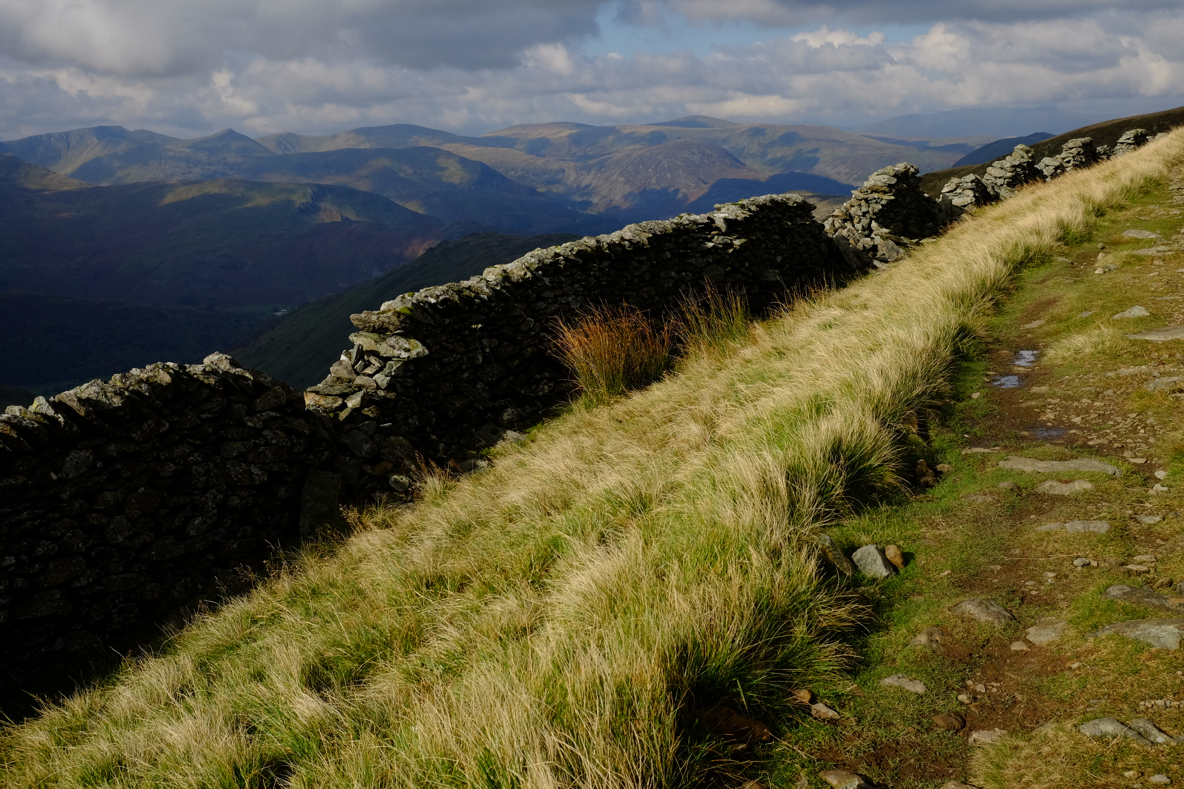
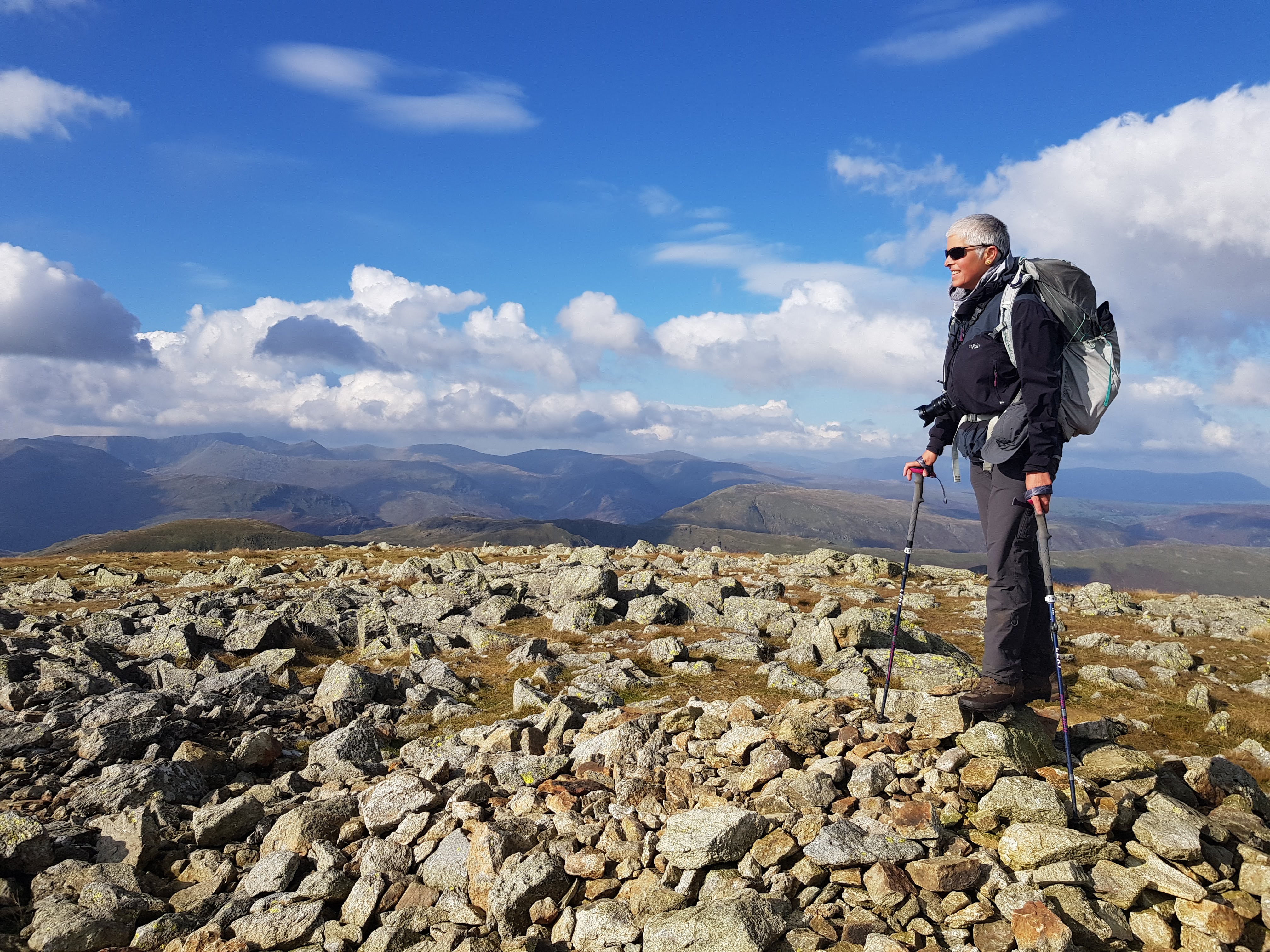
We climbed out of Patterdale with the clouds lifting and wonderful low, golden autumn light. We stopped for a coffee break by Angletarn, dodging the bog to get to the rocks jutting out into the water. Then we followed the path up towards High Street and took a detour to High Raise, the highest point on the C2C.
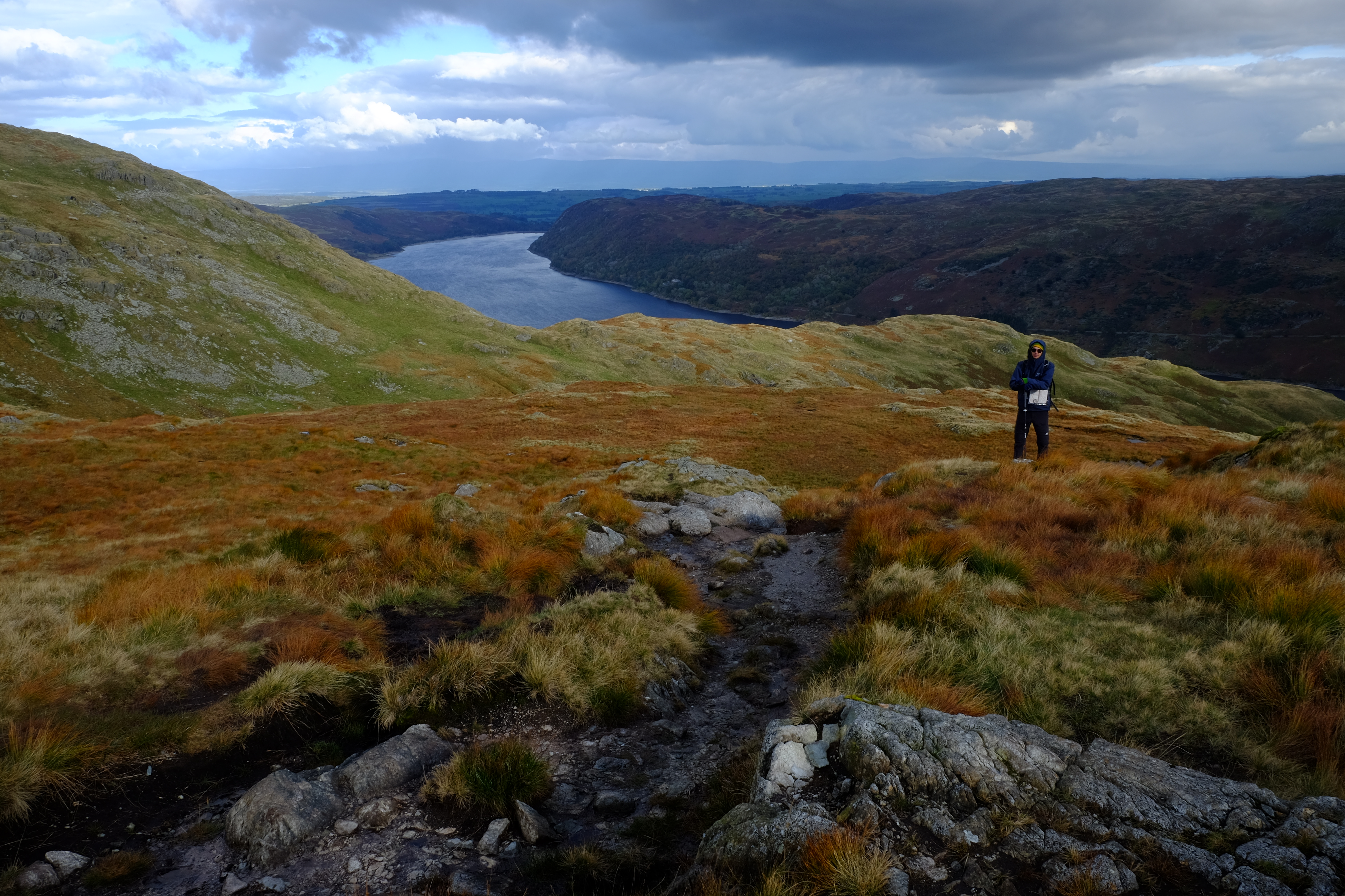
Views were terrific and weather too! We knew we had a long way to go to reach Shap but the people at Patterdale had led us to believe that the path along the north side of Haweswater was good, so we reckoned we could march it out. The path was good, in that it was easy to follow, but it was definitely NOT a marching out sort of a path. At the other end of the lake, it was worse. We still had miles to go and we had a sinking feeling that we would not make it to Shap before dark. We picked up pace, but it was hard going. The path was poorly marked or not marked at all, and deep mud, sculpted by grazing cattle, slowed progress further. It was beautiful by the river but there was little time to enjoy it. Eventually we left the river behind, and climbed up a field. We were harried by some cattle so crossed a fence on a style and continued on rough ground arriving at Rossgill as the sun was dipping. We were concerned that it would be darker still if we followed the official C2C route through the valley, so we crossed the bridge into the village and took a public footpath, tucked away between the houses and then across fields hoping it would be mud free and easy to follow. With the help of google maps, we eventually hit a road and decided to walk the rest of the way on hard ground. It was now pouring with rain and dark. We found the Shap chippy, with just 20 minutes spare before they closed. We still had just over another-very-long-wet mile to Margaret’s at Brookfield. On arrival, we peeled off our wet kit, stuffed our boots with newspaper and stepped into the other world that is her house. We disappeared up the stairs to wash. When we came down, Margaret had laid us a lovely table with hot plates, condiments, napkins, a steaming tea pot, cups and saucers. Magic! She also provided me with a bag full of rice to help rescue my phone. We slept very well that night. She had beautiful bed linen and very comfortable beds.
Day 5 Oct 14 2020 – Shap to Kirkby Steven 33km
After the best breakfast so far, (lovely fresh fruit salad, creamy porridge, toast, coffee) with no single use plastics, we set off in reasonable weather, a little misty, on the long haul to Kirkby Stevens. Should we have taken a day off to rest before this next marathon? We had not considered days off when we booked the holiday, and it never occurred to us to take a cab. We gritted our teeth and set off. The prospect of another mad dash in the dark at the other end of the day did not appeal, so we decided to keep close eye on the time and our pace. Margaret had packed a superb lunch. Fresh salmon sandwiches, cherry tomatoes and lettuce leaves on the side, buttered tea bread and a thick piece of cheese, also fruit cake. We kept the last treat for the final few kilometres of the day, a lovely almond tart. This was surely the day when we would need the extra calories and luckily, we had them.
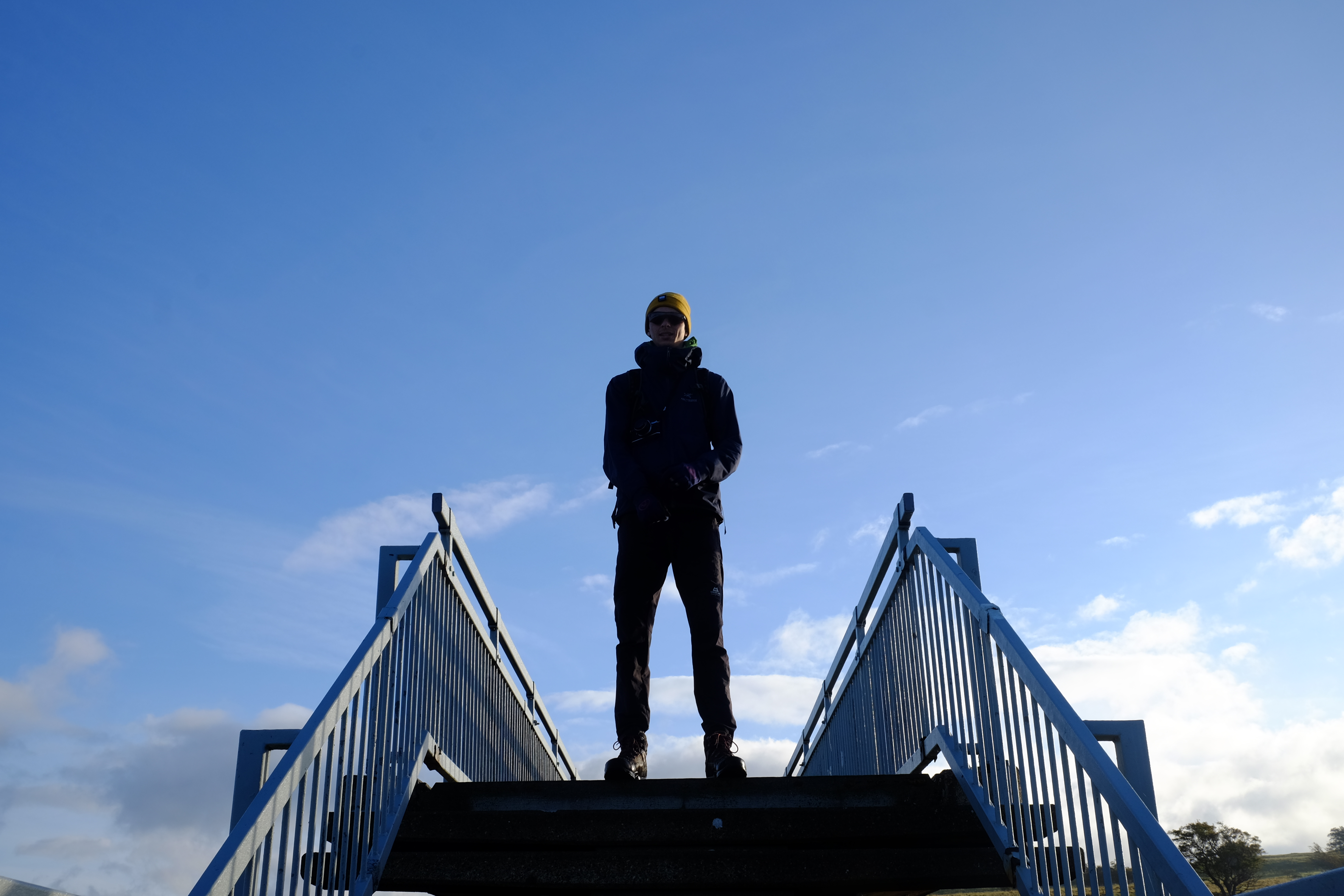
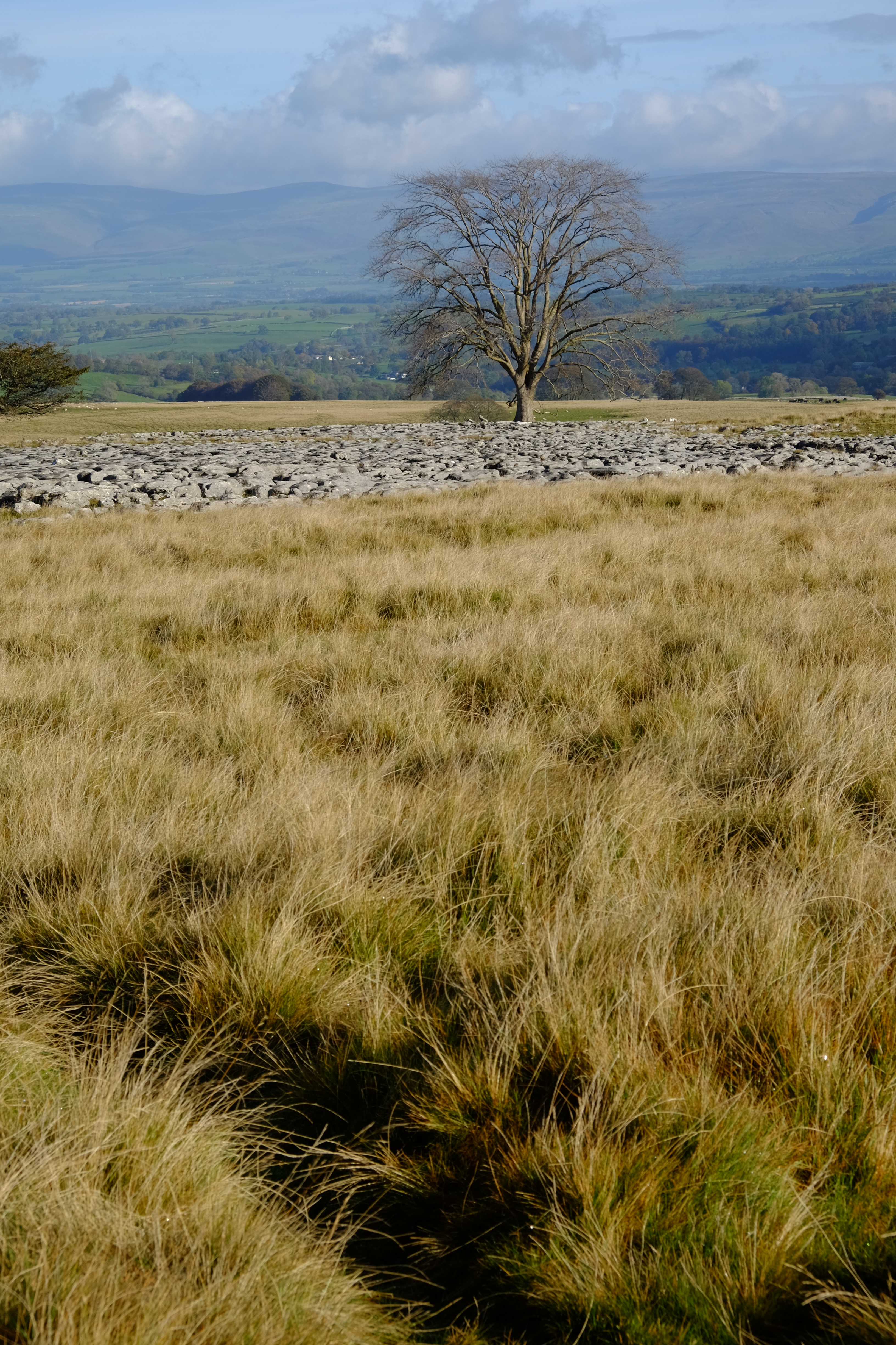
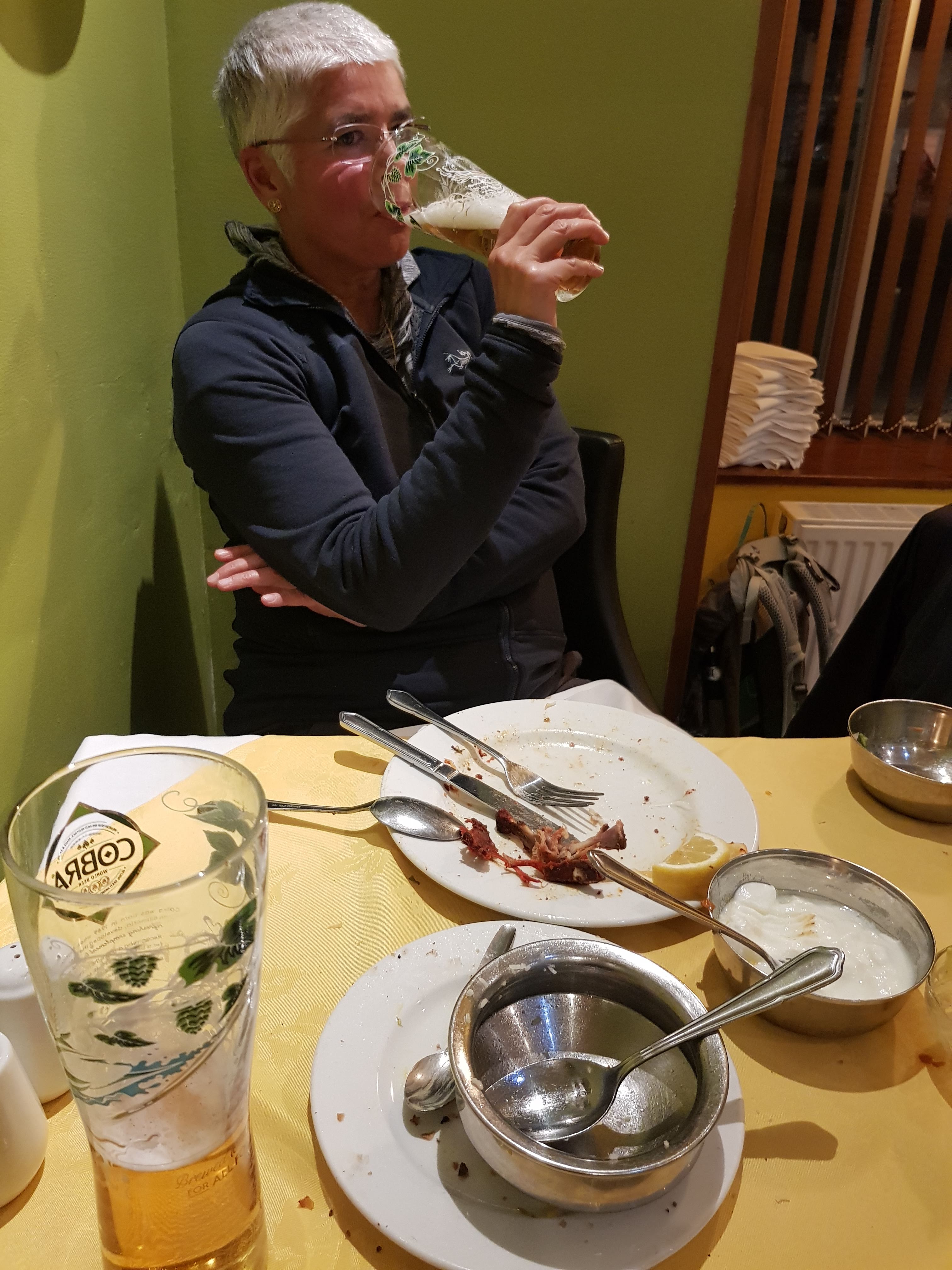
It was a spectacular walking day. Massive open spaces, limestone walls, much, much drier under foot. We got into Kirkby Stevens just as dark was falling. On a bench in the high street we took off our muddy over trousers and spruced ourselves up before heading to The Mango Tree for a typical Yorkshire Indian. Great choice, fantastic meal and a nice change from pub fare. We then staggered back up the road to Lockholme where we were hosted by the wonderful Chrissie, a runner with many medals. Home bakes and tea rounded off a terrific day.
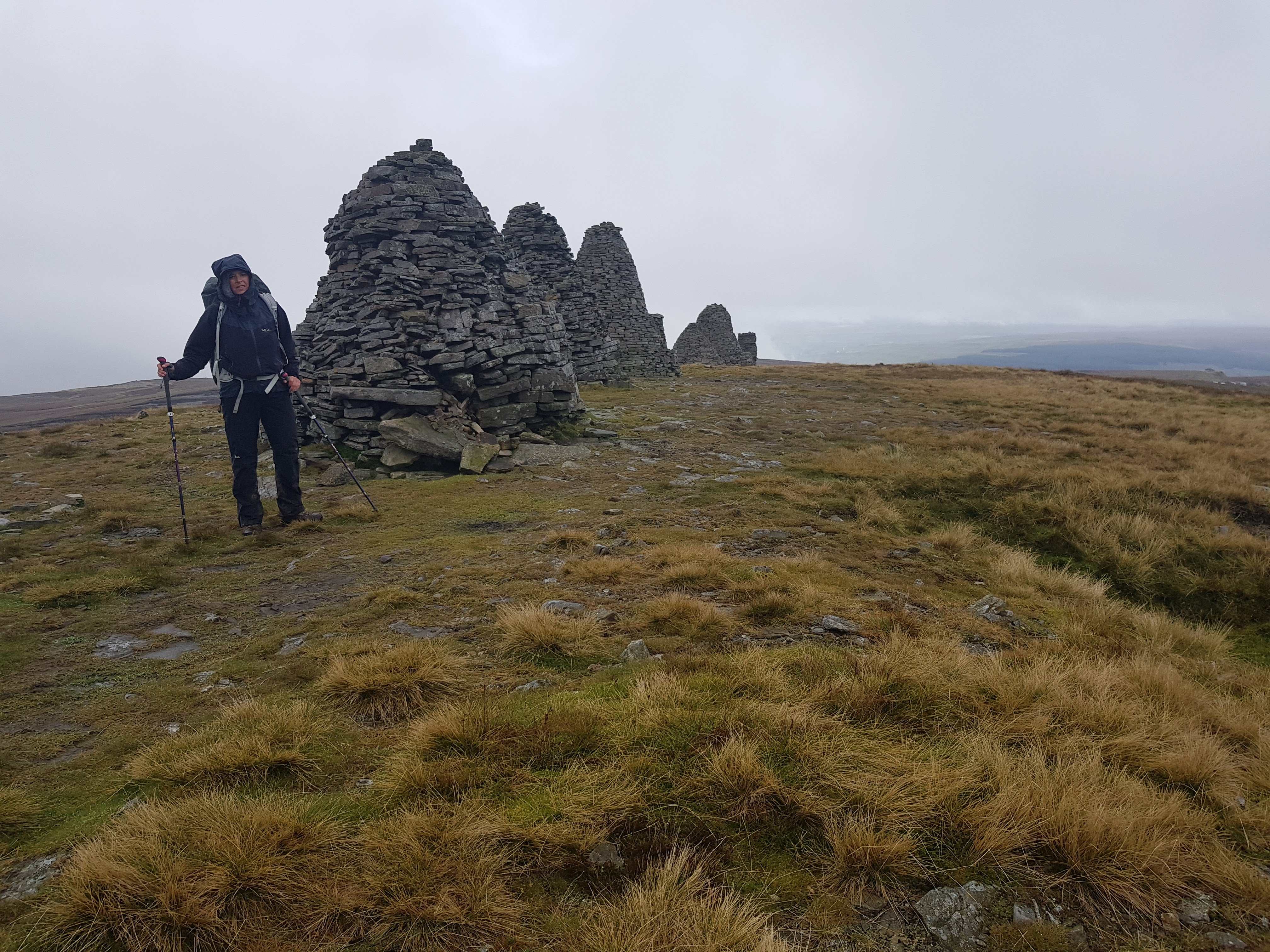
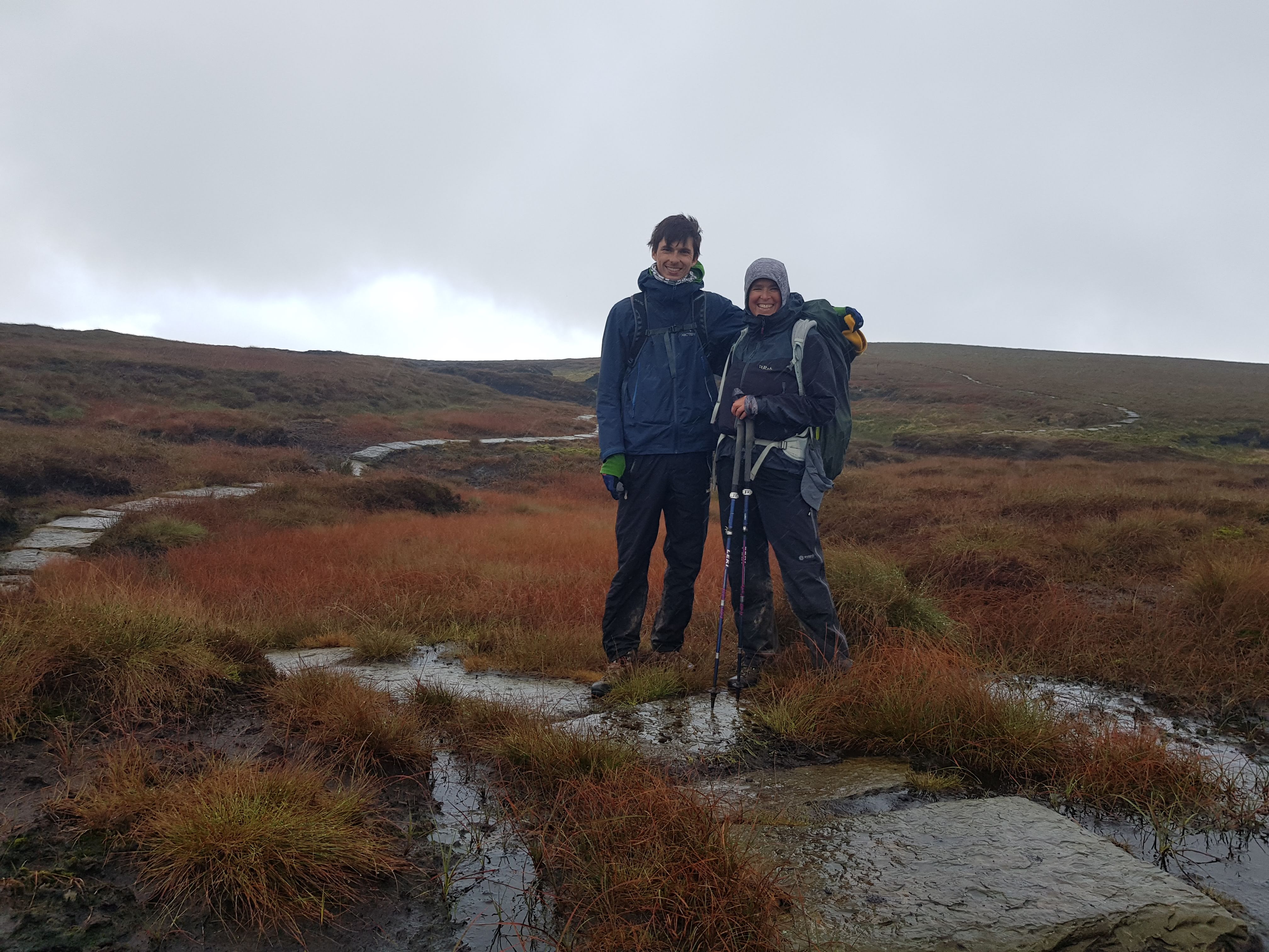
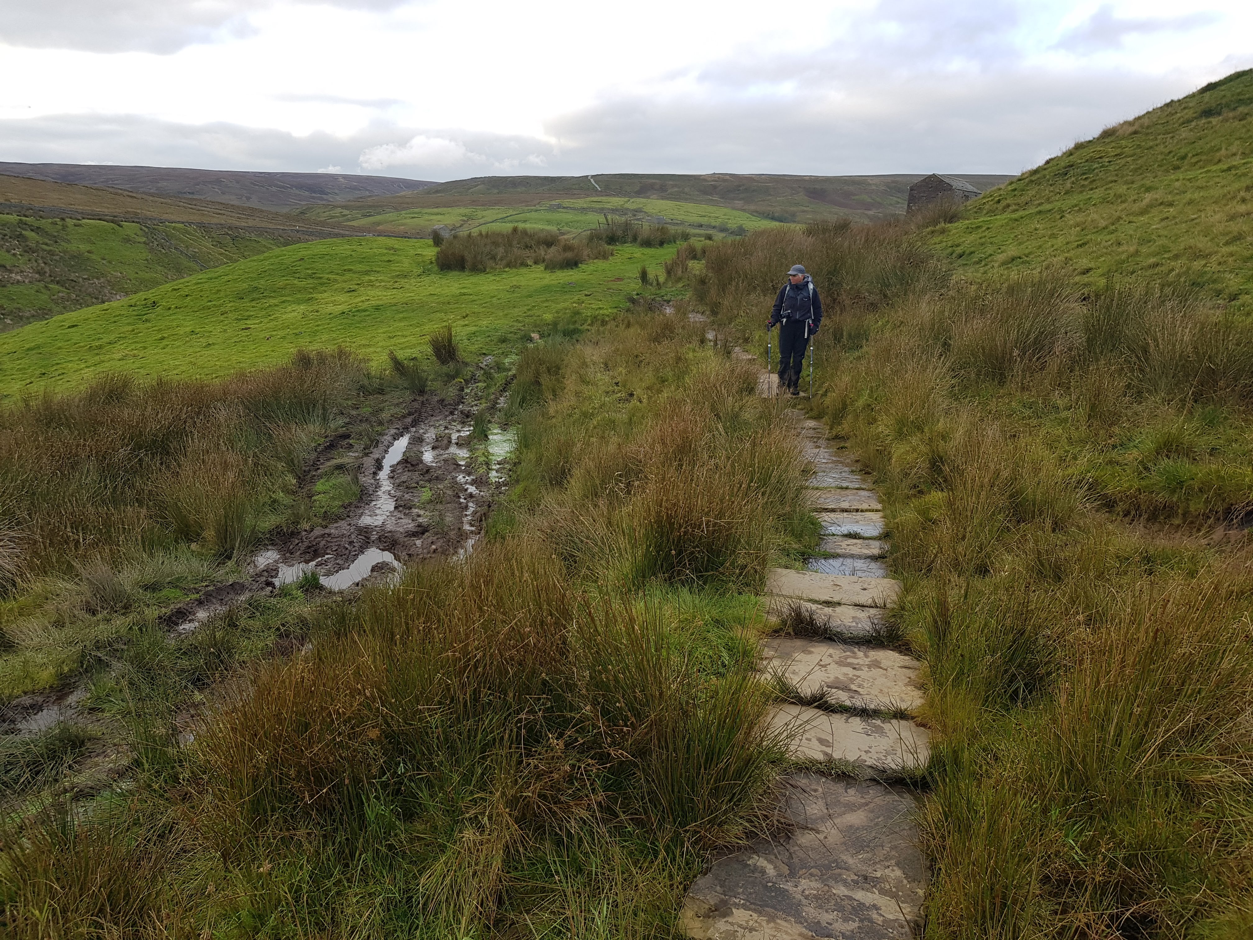
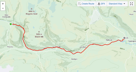
Day 6, Oct 15 2020 – Kirkby Steven to Keld 19km – via bog knows where
Over another lovely breakfast, with home made marmalade, Chrissie informed us that on a good day, the 9 Standards Rigg could be seen from her dining room window. We peered out imagining the view through the thick, low cloud. The days walk started with a stroll back down the high street. We stopped at the camping shop. My feet were not in good shape. New socks for us both and a blister kit were purchased. We put them on in the shop and took off again, through back streets then out along a stream and eventually up a small road passed a quarry, towards the grim, cloud-cloaked moor. The path became steeper, blacker and boggier. The erosion was stark. It is no surprise that there are now three routes across this stretch of ground, an attempt to preserve the precious peat bog. We passed the Standards in the rain. Off to our left was a line of beaters, driving petrified grouse towards blokes in tweeds with guns. Everywhere on the ground were little piles of grouse poo, a good indicator of the millions of birds that are reared here for the shooting industry. The path became hard to navigate let alone traverse. Large chasms in the surface peat, tens of metres wide and deep, cut down to the thick gluey mud, broken up with streams. Further along was a flag-stone floating pavement, which made the going much easier, however it was not long before we were back at the mercy of the bog. Small posts marked the trail but, in many instances, these had sunk into the ground. Had the cloud been lower still, we would not have spotted them and would have been quite lost. Our lunch was a standing stop, it was too wet to sit down. Eventually we came down to a winding stream. Along this next bit of path, were snare traps, and sign posts about protecting ground nesting birds – the super abundant red grouse. One day this ‘sport’ will come to an end, the balance of the ecosystem will recover, sphagnum moss will rejuvenate, more carbon will be sequestered than released, the water holding capacity will rise, native wild birds and mammals will flourish and the driven grouse shooters will switch their focus to nurturing native wildlife and with any luck, the health and well being of all!
On the road down to Keld, we met a young lad getting off a bus. He was in school uniform and was walking up the rough track in his school shoes with laces flapping. He travelled 1.5 hours in each direction for school, then had to climb the steep path to his moorland home, be it in sunshine, wind, rain, snow and darkness. I told him that he did not know how lucky he was. He gave a rye smile but probably thought I was barking mad! We arrived at Keld shortly after 5pm. A short day in comparison to the previous few, but for me, one of the toughest, bleeding blisters, and water logged boots did not help. We had a very warm welcome at Butt House by Jacqui and Chris. They impressed us with their super high tech boot driers. Supper was served in their front room and shared with two other sets of visitors, one of which was was a pin hole camera enthusiast. We were the last Coast to Coasters of the season.

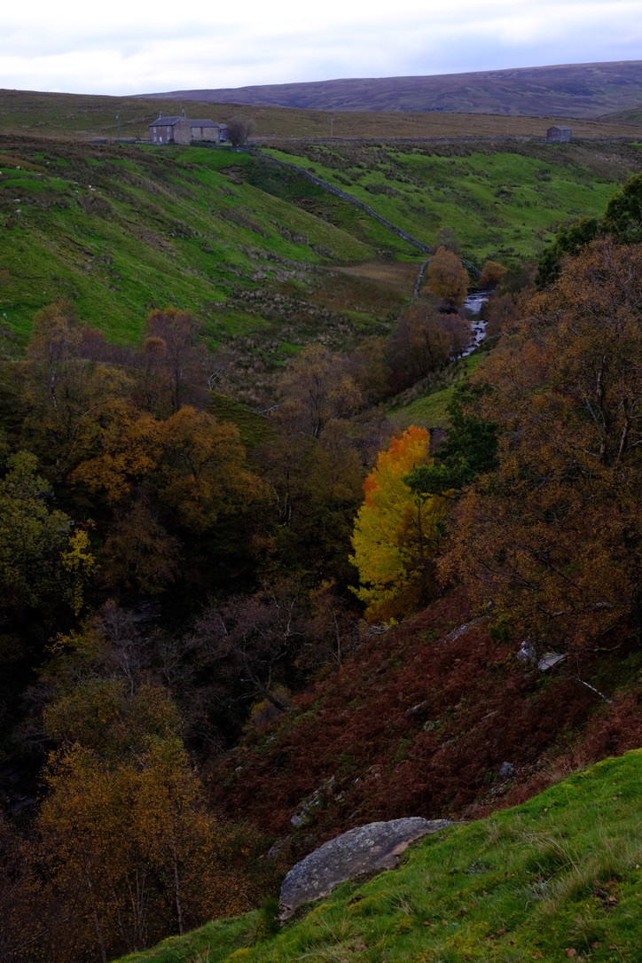
Day 7, Oct 16 2020 – Keld to Reeth
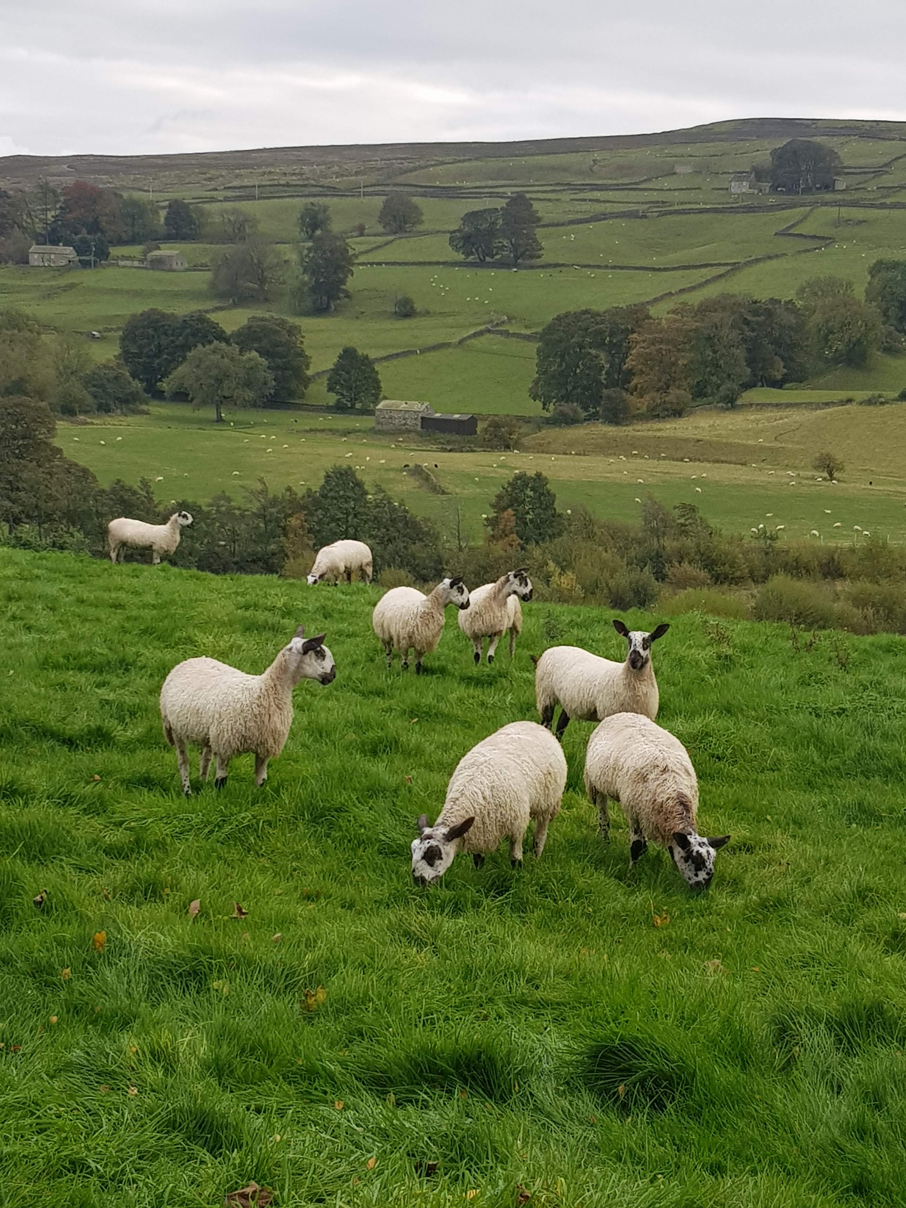
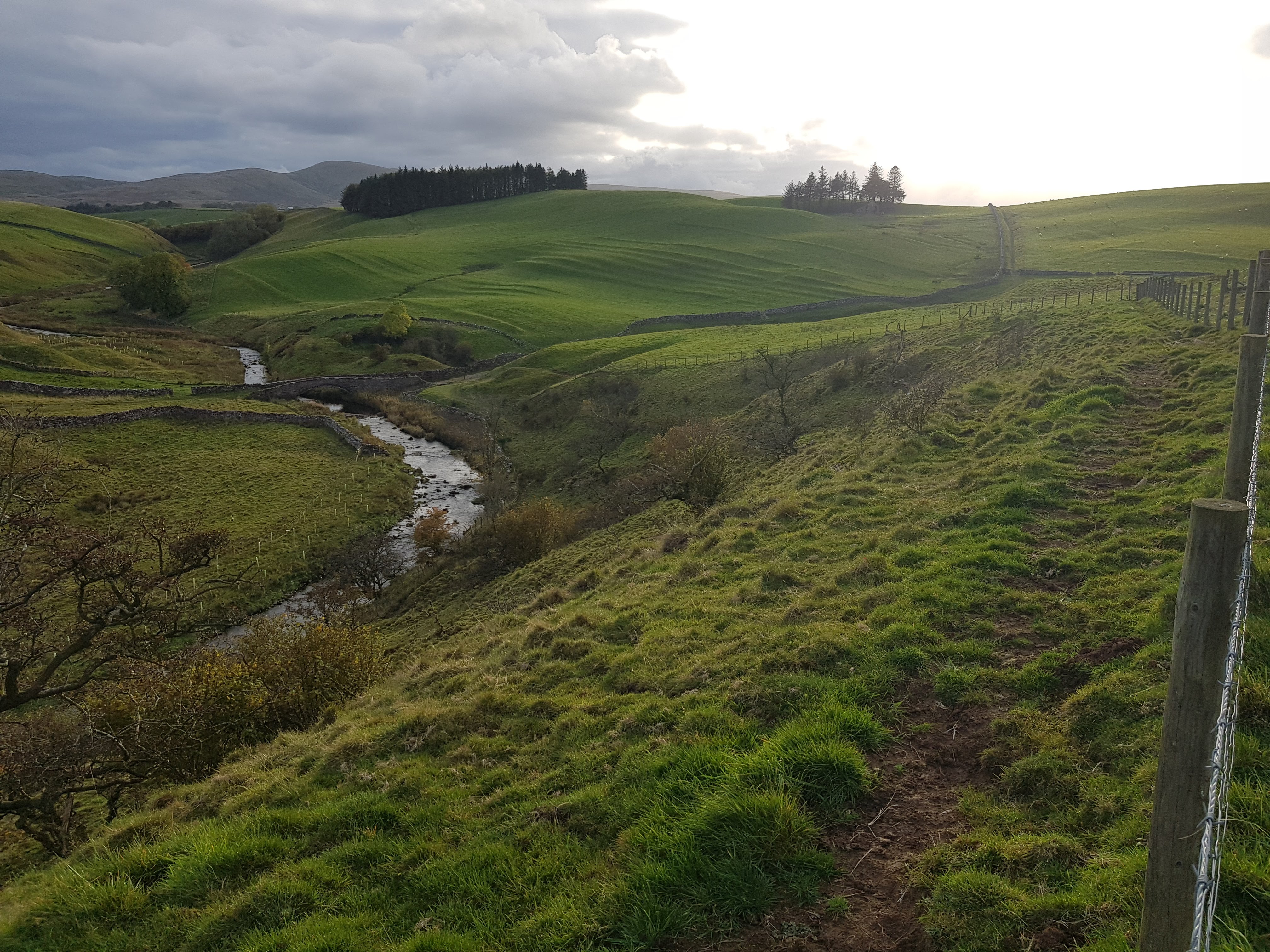
We decided at the very last minute to take the valley route through Swaledale rather than spend yet another day on the tops in cloud. While our boots were dry and warm, having been dried to a crisp over night, they had shrunk and it took best part of an hour before I was able to walk properly and forget the pain of the soft broken tissue on my heels! Fortunately, the valley was lovely, lush green with beautiful golden autumn colours, sheep fields, dry stone walls, Cowuss’s and yes, loads of styles! Some were very narrow, forcing us to take off our packs to get through. Clearly this route would be prohibitive to anyone a bit broader than I!
We were met at Reeth by my partner, Andy, and celebrated the the completion of half the Coast to Coast walk, with a wonderful meal at The Burgoyne. The following morning after a quick tour of the village and purchasing of beautiful woollen socks at Dragon Ridge Hills, we folded our bodies into the car for the long drive south. We dropped Fabian at Kings Lynne for his onward journey to London (and tier two) and we headed to the north Norfolk coast to catch a momentary glimpse of a Rufus Bush Chat, at Stiffkey. A great end to a great holiday.